Best Hiking Trails in the Scottish Highlands
The Scottish Highlands always feel a little bit magical. For one thing, they’re home to Loch Ness and mountains wreathed in myth (as well as cloud). For another, they’re home to some of Britain’s wildest, most rugged landscapes.
High summits plunge down into glassy tarns, and thick pine forests line the shores of long lochs. Along the coast, sea foam whips through the air as waves smash onto rocky cliffs. If you’re looking for a little wildness, this region is hard to beat. From the hills to the Hebrides – and from remote long-distance routes to easily accessible day treks – we’ve picked out the best hikes in the Scottish Highlands.
A note before we start: read anything about hiking in Scotland and you’ll come across references to 'Munro' peaks. These are simply any Scottish mountain higher than 3,000 feet (914 metres). They’re named after aristocrat and keen hiker Sir Hugh Munro, who compiled a list of the region’s highest peaks in the late 1800s.
Wondering where you’ll stay? Read our ultimate guide to camping in Scotland, then find yourself a campsite in the Scottish Highlands.

Ben Nevis
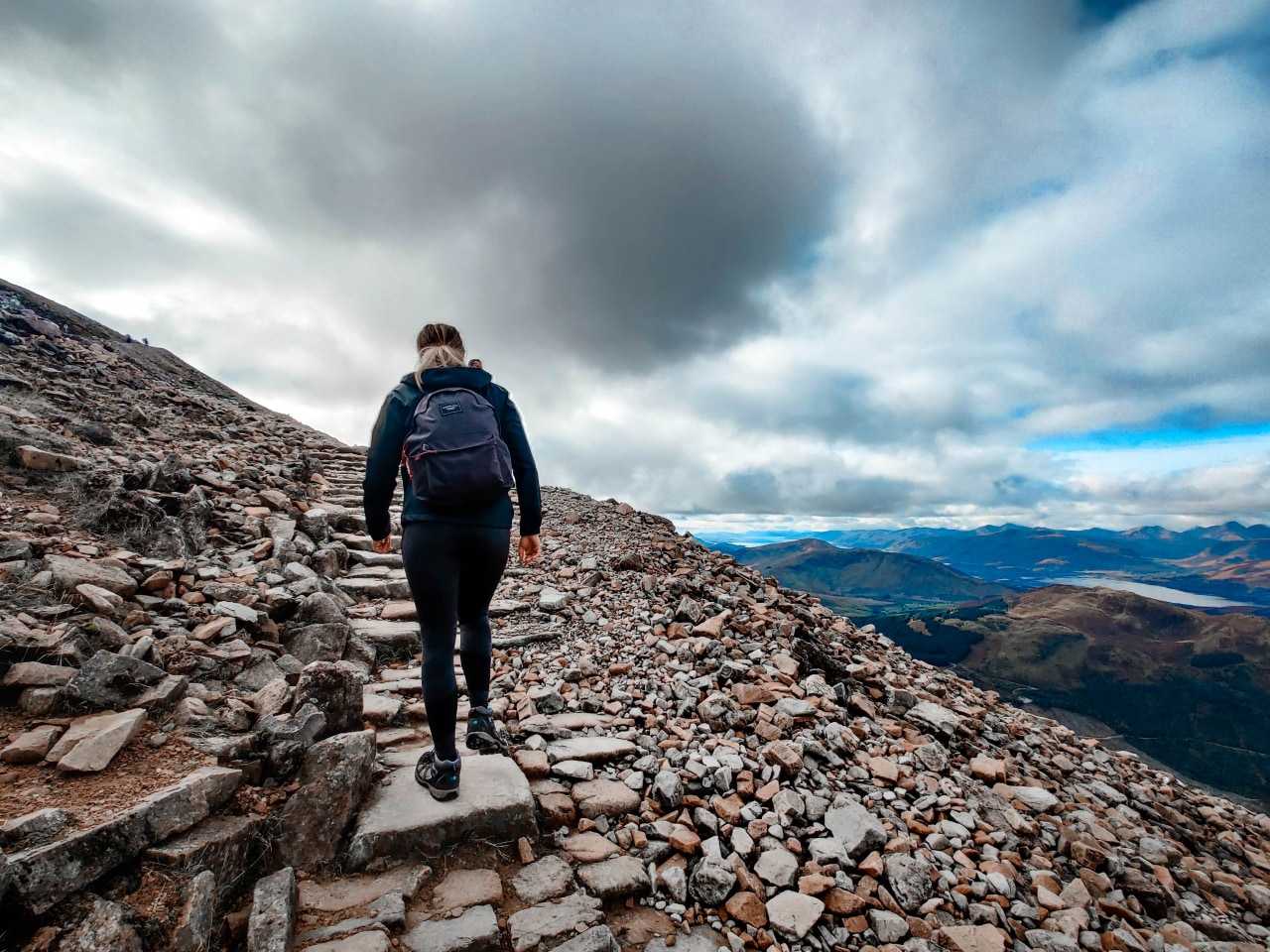
Why start with the easy routes? Ben Nevis is Britain’s highest mountain (1,345 metres at the summit), and this is one of the country’s best-known hiking trails. It’s also challenging: this isn’t a route for beginners. Make sure that you’re adequately prepared for the seven- to eight-hour climb.
The route starts near Fort William, at the Glen Nevis Visitor Centre car park. From here, you’ll follow the main mountain track all the way up to the summit. While it might be challenging, the ruins at the top, a tumbling waterfall and sweeping views over some of Scotland’s best scenery – plus the glow of pride you’ll feel in conquering the mighty Ben – more than make up for the sore legs you’ll have the next day. For more top sights, read our guide to the best places to visit in the Scottish Highlands.
Meall Fuar-mhonaidh
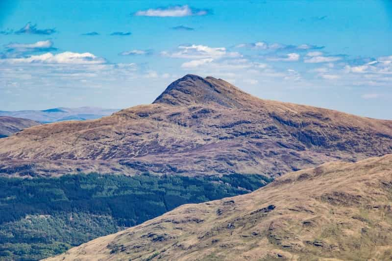
This 699-metre-high rounded mountain (it’s pronounced 'mell forvonay', in case you were wondering) is the highest summit around Loch Ness. Once ascended, you’ll have great views over the whole length of the loch and beyond – from Fort William and Ben Nevis in the south to Inverness and the Moray Firth in the north.
The hike (from the car park to the summit and back) is just over five and a half miles long and should take around three hours to complete – just follow the signs for the hill path.
See campsites near Meall Fuar-mhonaidh.

Aonach Eagach Ridge
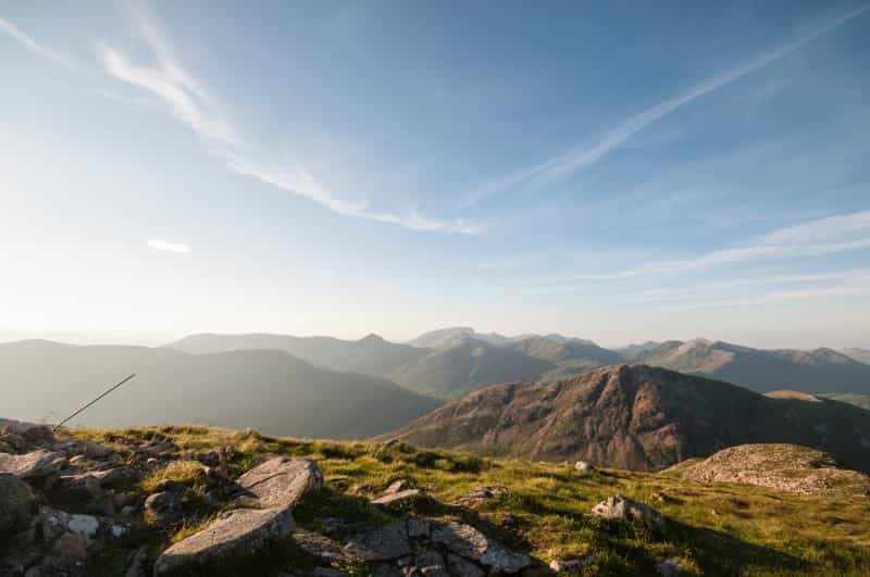
Do you like your hiking routes to come with a hit of adrenaline? Then Aonach Eagach ('Notched Ridge') is the route for you. This legendary route looms high above gorgeous Glencoe, taking in two Munro peaks (Sgorr nam Fiannaidh and Meall Dearg) along the way.
It’s officially known as a 'scramble', which means that parts of the route require – you guessed it – scrambling up steep slopes. You’ll also need a head for heights, as the ridge drops down sharply to right and left. The plus side of this is that you’re practically guaranteed fantastic views.
The route starts from the Devil’s Staircase and runs all the way to the Pap of Glencoe (around five and a half miles).
Browse campsites near Glencoe.
The Hebridean Way
Yearning for some wilderness? Head to the Hebridean Way, where you can hike through some of the Outer Hebrides’ loveliest islands. The route spans a total of 252km, traversing hugely varied terrain. One day you might be walking through wildflower meadows, before turning down coastal paths which hug white sand beaches and wild seas: the next, you might be crossing long stretches of moorland as golden eagles soar overhead. Crossing from island to island is either along causeways or by ferry. Look out for wildlife like red deer, otters and seals along the way.
Most people take the Hebridean Way south to north due to the region’s prevailing winds. The route starts at Vatersay and heads through 10 islands before ending in Stornoway. The full trip will take around 12 days’ walking (you might also want to factor in a rest day or two). It’s also absolutely possible to do a smaller section of the trail, as ferries run from Skye to various points along the route.
See campsites in the Hebrides.

Ben Lomond
The views from Ben Lomond are fabulous. To the north, mountain peaks climb higher and higher into the Highlands, while to the south and west you’ll see the full stretch of Loch Lomond and its scattered islands. This is one of Scotland’s most popular Munros: while it’s a respectable height (974 metres), the trip up to the summit and back is a relatively easy day hike. Expect it to take around four to six hours.
If you’re staying in the area, the Glen Ogle trail is also well worth doing. This four-hour route includes an old military road, soaring disused railway tracks (the former Callander and Oban line) and historic Glen Ogle Viaduct, which cuts a sharp line through steep, craggy scenery.
See campsites near Ben Lomond.
The West Highland Way
If long-distance hiking trails are your bag, then the Scottish Highlands are unlikely to disappoint. Here’s another legendary walking route which takes around five to eight days to cover in its entirety, passing through everything from mountainsides and lochs to moorlands and rolling countryside.
Most people walk the West Highland Way from south to north (Milngavie to Fort William), the logic being that you can ‘train’ on the easier southern sections before reaching the trail’s more challenging, higher-altitude northern reaches. However, you don’t need to walk the full route: as Scottish long-distance hikes go, the West Highland Way is one of the easiest to split into smaller trips. There are plenty of buses and trains along the route to take you where you need to go.
Make an adventure of it with our guide to camping on the West Highland Way.
The Cape Wrath Trail
Was the West Highland Way not quite long enough for you? Try the Cape Wrath Trail, which begins at Fort William and ends – some three weeks of trekking later – at the Cape Wrath lighthouse.
This one’s for experienced trekkers only. You’ll need stamina to cover the varied terrain, plus the skills to find your way along an un-waymarked route. Much of the 230-mile route is remote, so you’ll need to take all your provisions and equipment with you (including a tent). The pay-off is that you’ll get to travel through some of Scotland’s wildest landscapes, where waves crash against dramatic West Coast cliffs, rugged mountains rise on all sides and pine forests fringe ancient peat bogs.
Cairngorms National Park
The Cairngorms National Park is one of Scotland’s most popular hiking spots (and the biggest national park in Britain). This is partly due to its glorious Highland landscapes, which range from tundra-like plateaus and Munro summits to glassy lakes and valleys, and partly due to the sheer variety of trails on offer here.
These include routes for all ages and abilities to enjoy: we recommend exploring the Cairngorms website to find the right route for you. Some favourites include the stroll to the Falls of Bruar – which passes through forests filled with rowan, birch, larch and pine, planted at the request of poet Robbie Burns – and the three-mile circular route around Loch an Eilein, where you’ll see a ruined 13th-century castle and wildlife like treecreepers along the way. (Fancy a few more? See our guide to the best castles in the Highlands.)
The Cairngorms also links up to several long-distance walking trails, including the Speyside Way, the Cateran Trail and the Deeside Way.
See campsites in the Cairngorms.
The Great Glen Way
Do you know how the Highlands were formed? Millions of years ago, a dramatic tectonic collision sent its summits soaring skyward – and the Great Glen plunging downwards, creating a crack stretching from coast to coast. It’s this geological fault (Scotland’s longest glen) which the Great Glen Way travels through, passing along roads, forest paths and canal towpaths.
The route is 78 miles long, from Fort William to Inverness, and takes around four to seven days to complete. If you’d like to speed things up, you can also travel the Great Glen Way on a mountain bike.
Most of the route is at a low altitude and fairly level, making this a good entry point if you’re new to long-distance hiking (although that doesn’t mean it’s not scenic: there are some fantastic sights along the way, including sweeping views over Loch Ness and its surrounding forest). If you’re looking for more of a challenge, veer off-route to summit some of the mountains within easy reach of the trail. Look out for wildlife like golden eagles and deer along the way.
Does surrounding yourself with nature sound appealing? Check out the best places to go birdwatching in the Scottish Highlands.
