The Best Hikes in the North York Moors
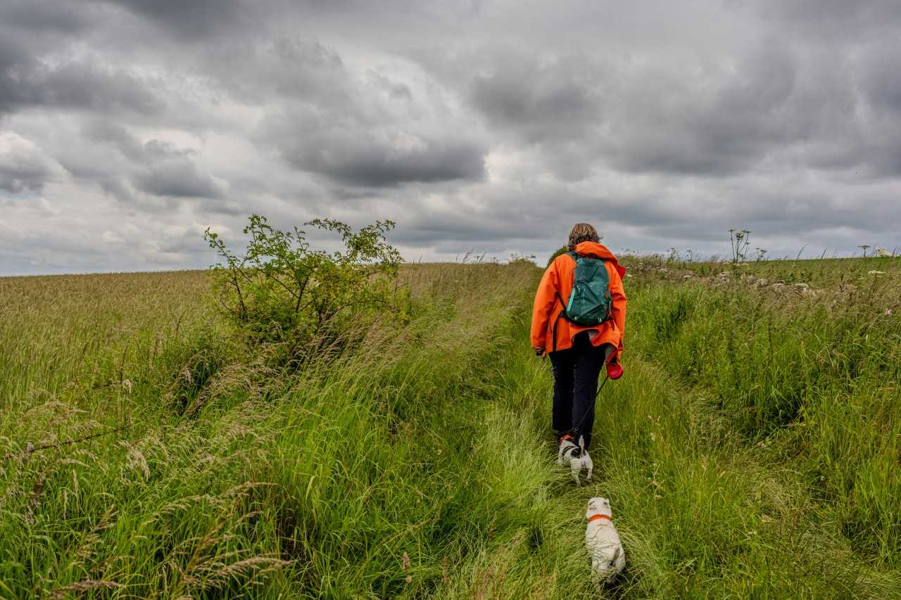
Wide open spaces, a stunning coastline, rugged uplands and sweeping hillsides – the North York Moors National Park has it all. With some of the best backdrops for hikes in North East England, this diverse landscape has over 1000 miles of footpaths, bridleways and other rights of way to explore. This page covers the more challenging end of the spectrum: the best long-distance routes, full-day hikes, half-day adventures and everything in between. For family-friendly and other slightly easier options, check out our guide to North York Moors walks instead.
The 4 best hikes in the North York Moors
We’ve condensed our shortlist of challenging walks and hikes in the national park into this list of our four favourites. They’re presented in no particular order, so just have a read through and explore the routes you like the look of.
Roseberry Topping
Start/end: Great Ayton Station
Distance: 4 miles (6.5 km)
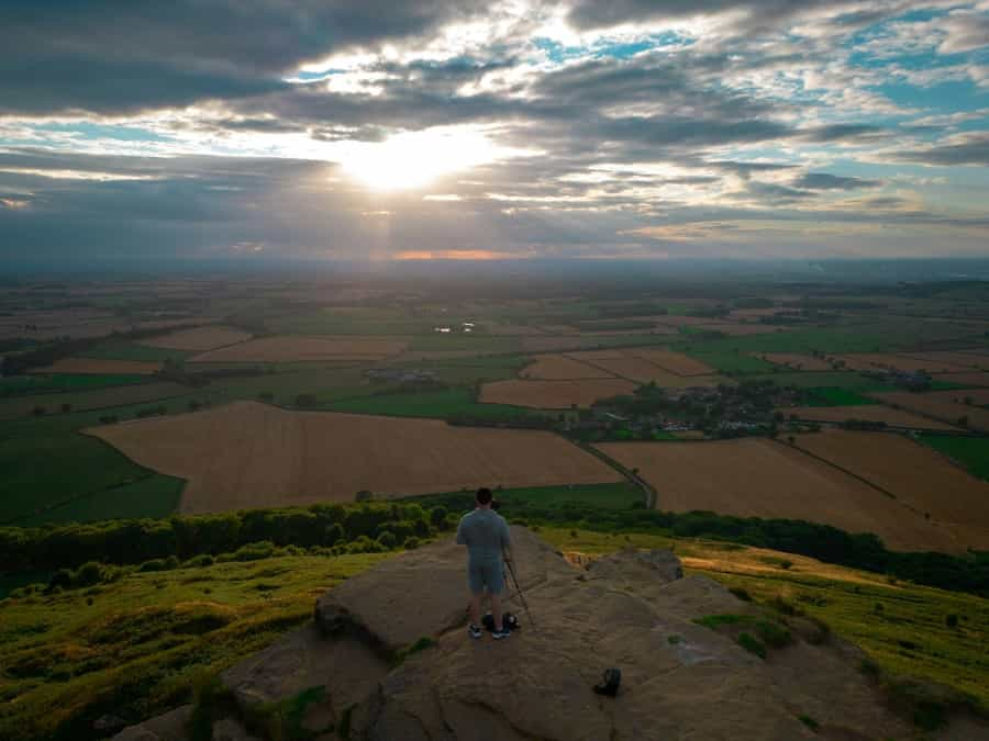
This short but steep hike is a circular route up one of the highest hills in the North York Moors. Roseberry Topping’s distinctive shape and the 360-degree views from the summit make this hike one of the most popular in the area – and, as it’s possible to do the whole thing by public transport thanks to Great Ayton’s well-served railway station, it’s also one of the most accessible.
Heading out of the station, follow signs for Captain Cook's Monument – Great Ayton is where the famous explorer lived as a boy in the early 18th century. Continue through the woods and fields until you reach the monument and enjoy the stunning views. From there, follow signs for the Cleveland Way towards the topping's summit. After conquering the peak, descend through oak woodlands, eventually returning to Great Ayton. Be sure to wear sturdy shoes that have enough grip – this route is steep and can get quite muddy and slippery in wet conditions.
Cold Moor & Urra Moor

Start/end: Chop Gate village hall car park
Distance: 9.2 miles (14.8 km)
Cold Moor is a long ridge located in the Cleveland Hills area in the north of the North York Moors. Starting and ending in the hamlet of Chop Gate, this circular route crosses open moorlands and involves a fair amount of ascent (from the top, you can see all the way to Teesside on a clear day). The moorland is home to red grouse, which you might spot from time to time, as well as ancient burial mounds, although these are mostly covered by the undergrowth.
The route then moves on to Urra Moor, home to the highest point in the national park. Continuing along a bridleway, you’ll enter a gently sloping valley, passing streams, dry stone walls and farmland. To finish, reward yourself with a pint or a tasty dinner at The Buck Inn back in Chop Gate.
The Hole of Horcum
Start/end point: Saltergate car park
Distance: 7 mile (11.3 km)
The Hole of Horcum is located in North Yorkshire and this trail follows a scenic and well-made path that brings you to the rim of this stunning bowl-shaped valley. Approximately three quarters of a mile in diameter, the hole is referred to locally as the 'devil's punchbowl' due to its distinctive shape.
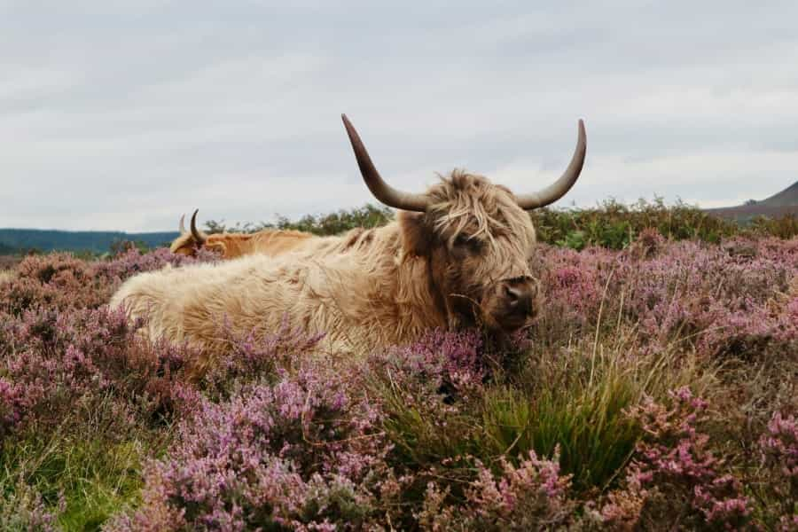
Starting off at Saltergate car park, you'll have great views right from the get-go. Moving on to Levisham Moor, stop to smell the heather and enjoy the elevated views over the valley as the path continues for around two miles. Next, follow the sign for the Hole of Horcum – the scenery changes here, and you will probably see the resident Highland cattle that graze here most of the year.
Once you have completed a lap of the Hole and returned to the car park, there is a refreshments van that is often open to visitors. If you fancy something more substantial, Pickering is a 10-minute drive away. This hike can also be accessed from Pickering or Malton by bus via the 840 Coastliner route.
Glaisdale Rigg
Start/end: Glaisdale village centre
Distance: 8 miles (12.8 km)
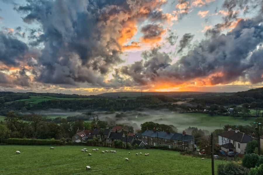
Built on steep slopes above the river Esk, the terraced cottages and traditional shops in Glaisdale are worth visiting in their own right. This pretty spot is the start and end point of the Glasidale Rigg hike, which is part of the Coast to Coast route and has stunning views over the rolling Esk Valley and the North Sea.
The hike will take most walkers about half a day to complete and isn't the most strenuous on this page, although it still involves a decent amount of ascent and requires good stamina levels. The terrain is a mix of broad moorland paths and green lanes, which are generally well signposted and easy to follow, as well as tarmac (some walking along quiet roads is required to complete the loop).
On your return to the village, stop for refreshments at The Arncliffe Arms before heading back down the steep slope to your car or to the village's handy train station.
The Cleveland Way
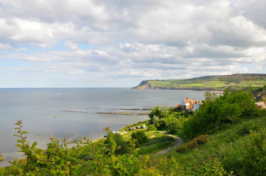
Looking for a multi-day overland adventure? At 109 miles (175 kilometres) long, the Cleveland Way stretches from Helmsley to Filey, hugging the coastline before heading inland through the moorlands of the Cleveland Hills. Many walkers prefer to tackle the route clockwise, starting in Helmsley and ending in Filey, to keep the wind at their backs; others walk the route this way for the views.
While walking all of its length in one go is an ambitious target, this well-established and clearly waymarked hiking trail is one of the best trails in the North York Moors (many of the other routes listed on this page run along it in whole or in part). While the route is challenging in places, particularly along the hilly sections of the coast and in the Cleveland Hills, it is not particularly remote or difficult to access, making it easy to take on as much or as little as you like.
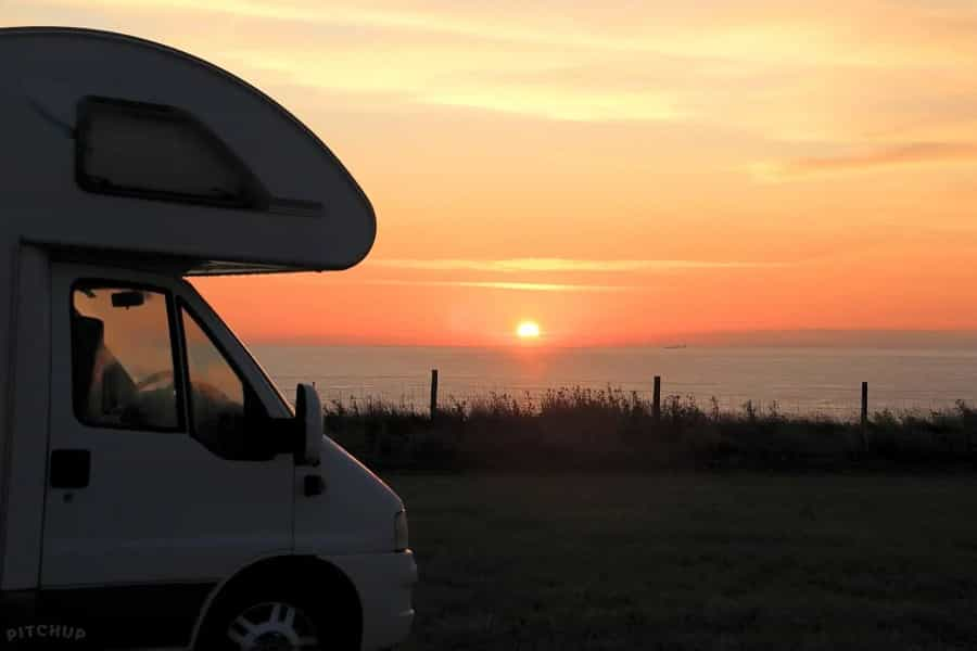
Need somewhere to stop off for the night along the way? Check out our range of campsites and glampsites in the North York Moors National Park and start planning your Cleveland Way itinerary.
With coastal long-distance routes, hikes for hardy hillwalkers and lots of stunning scenery, the North York Moors National Park is full of places to get outdoors. If you’ve enjoyed reading about some of the area’s best hikes, check out our other guides to the local area – from the best climbing spots in the North York Moors to stargazing spots and family-friendly things to do, we’ve got lots of ideas to make your trip a success.