Camping and hiking on the Pembrokeshire Coast Path
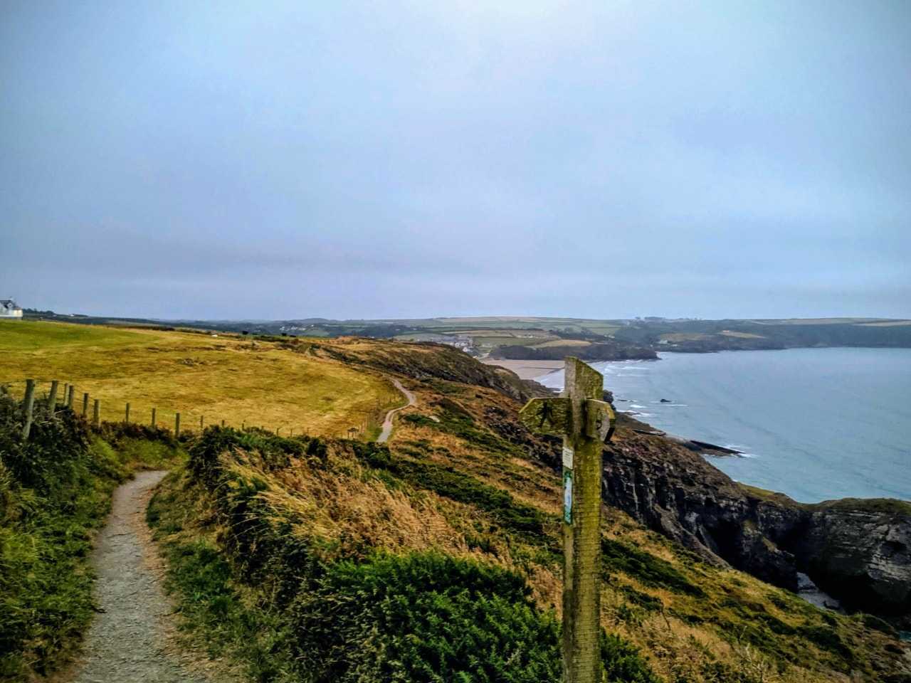
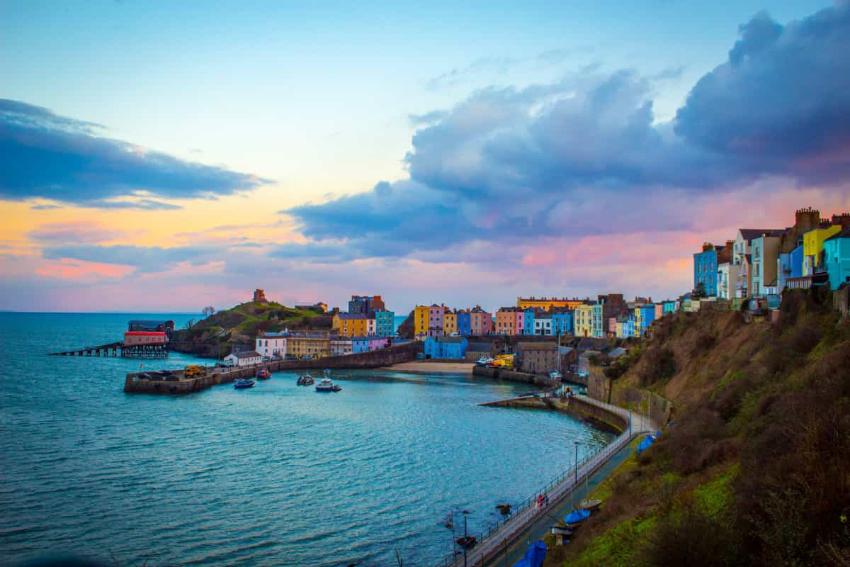
When the Pembrokeshire Coast Path opened in 1970 it became the first National Trail in Wales – and it’s no secret why this particular area was chosen for that honour. Pembrokeshire’s coastline is simply stunning, with everything from long sandy beaches to craggy cliffs along the way, and a walk along the Pembrokeshire Coast Path is a popular and rewarding way to make sure you don’t miss a single one of those fabulous views.
Breaking up your hike with overnight stays at campsites along the route offers the best way to appreciate the scenery – staying right there in the outdoors means you can continue to take in those sea views until sunset, and experience the area’s nature in a way that would never be possible while staying in a hotel.
Read on for our tips on camping along the Pembrokeshire Coast Path, how to plan your trip and what to see – plus a suggested five-day itinerary for a shorter taste of this fabulous seaside hiking route.
What is the Pembrokeshire Coast Path?
The Pembrokeshire Coast Path is a well-established route that was first opened in 1970. Officially the path runs for 186 miles, but additional routes (to allow alternatives for high tides and to avoid military firing ranges) stretch it out to a total of 193 miles of maintained pathway.
You can be sure of a scenic walk here, as 85% of the path sits inside the Pembrokeshire Coast National Park. However, although the path may be easy to follow, it’s not really an easy walk. The combined elevation rise and fall is 35,000 feet over the course of the path – that’s more than climbing Mount Everest (at just over 29,000 feet) so you’ll need to be fairly fit to tackle the whole path.
How long does it take to walk, and when should I go?
On average, it takes walkers about 12 days to complete the Pembrokeshire Coast Path, covering around 15 miles a day. This pace requires a high level of fitness, however, and it can be hard going to maintain this mileage for several days in a row. For an easier time, plan shorter days, include rest days or stick to a smaller section of the path (such as our suggested itinerary below).
The path can be followed all year round, but many walkers find that the weather in spring and autumn is more pleasant than the heat of summer or the potentially windy and wet weather of winter. These shoulder seasons tend to avoid the crowds, but it’s possible that some accommodation and eating options may close outside of the summer months.
How do I follow the Pembrokeshire Coast Path?
The coast path is well marked with acorn signs so it’s relatively easy to navigate – and that means you’ll be able to spend much of your time appreciating the scenery rather than staring at a map. Most people walk from the north (St Dogmaels) to the south (Amroth), so the gates and stiles are numbered in this way, but it’s no problem to follow the path in the other direction.
Generally speaking, you’ll just need to keep the sea on your right-hand side (or left if coming from the south) but there are some areas where you’ll need to be aware of diversions or hazards – these include the firing range at Castlemartin and the tidal crossing at Sandy Haven. The official guidebook will give you warnings and alternatives about these areas, along with an in-depth route map and guide to the history, wildlife and scenery.
What can I see on the Pembrokeshire Coast Path?
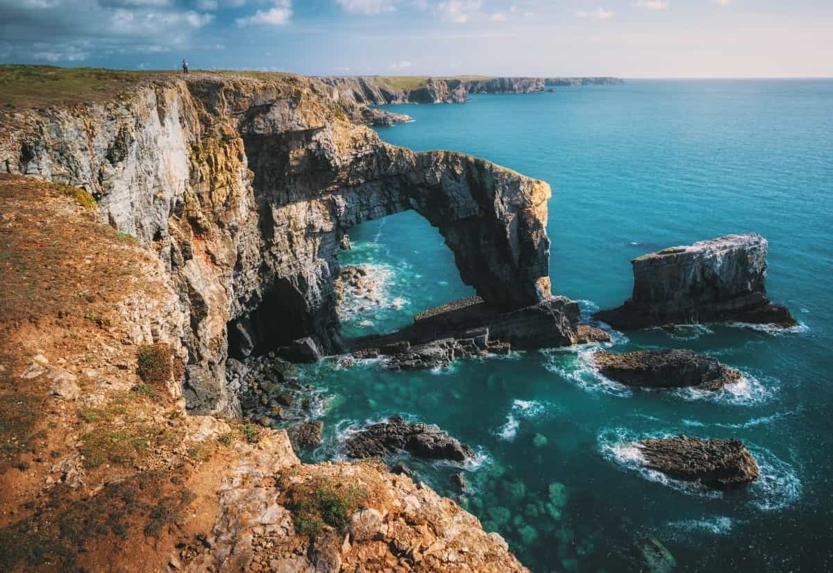
With more than 50 beaches and lots of hidden coves along the way, the natural scenery is spectacular – and that’s before you even get to highlights such as the Green Bridge of Wales or the Blue Lagoon near Abereiddy.
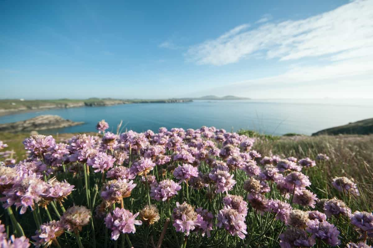
Naturally, the wildlife around here is fabulous too: come along in spring or early summer to see wildflowers bursting into bloom, pack binoculars to spot migrating birds in spring, or look out for seal pups resting on the rocks and beaches in autumn.
There’s also a lot of fascinating history to take in along the course of the path: from early Celtic chapels and Iron Age forts to more recent additions like the brickworks of Porthgain, you’ll spot remnants of those who came before as you walk here. Wales is also famous for its castles, and there are several to visit around Pembrokeshire, including Pembroke Castle, the birthplace of Henry VII.
Is the Pembrokeshire Coast Path for walkers only?
The particular terrain of the coast path means that it’s not suitable for bikes, so you’ll only be able to complete it on foot. That said, there are alternatives if your feet are getting tired: Pembrokeshire has a great public transport system, with coastal bus services running to all sections of coast path. These are particularly handy if your accommodation is a little way from the path, if you’d like to try out a few different locations or if you’ve just had enough for the day.
Camping near the Pembrokeshire Coast Path
Camping is a wonderful way to make the most of Pembrokeshire’s stunning scenery – what better way to finish off a day of walking than to relax in the open air with a drink by the campfire while you watch the sun disappear into the sea? There are lots of options available to book through Pitchup, whether you’re planning to do a point-to-point walk with overnight stays along the way or settle in one base and try out different coast path sections or circular walks each day.
Along with the fresh air, one of the main draws of camping is that it makes the whole trip really quite affordable – especially if you pick back to basic campsites that just have essential facilities. That said, Pembrokeshire has some lovely choices for glamping too if you’d like to stay in a little more comfort (and thereby reduce the amount of kit you need to carry with you).
Which of these styles you prefer is up to you – but one thing worth remembering is that wild camping is not really an option for staying near the Pembrokeshire Coast Path. Technically, wild camping is legal in Wales if you’ve obtained permission from the landowners, but as most of this area is protected land it’s unlikely you’ll be allowed here.
Pembrokeshire’s popularity as a destination for all sorts of holidays means that it’s worth booking in advance to secure pitches in the top locations – that’s particularly important in summer, but also applies throughout the year, as some sites will close outside of the peak season.
See all campsites in Pembrokeshire
See all Pembrokshire glamping sites
Our five-day itinerary for a Pembrokeshire Coast Path walk
Many people won’t have the time or energy to complete the whole of the Pembrokeshire Coast Path in one go, so here we’ve outlined a section that can be completed in just five days, with suggestions for places to stay along the way.
This section takes you from Porthgain to Dale, covering around 55 miles of the path and taking in some of Pembrokeshire’s most spectacular coastal scenery along the way.
Day 1: Porthgain to Whitesands
10 miles
Your walk starts in Porthgain, a pretty harbour town a little way north of St Davids. Getting there is easy via the Strumble Shuttle bus, or you may like to kick off your walk by staying locally at Celtic Camping, where you’ll get a taste of what lies ahead by waking to gorgeous sea views from the spacious grass pitches.
Treat yourself to a good breakfast while looking out to sea, because there’s plenty of walking ahead. This first section has some of the most dramatic scenery too – you’ll be walking along a rugged path with the slopes of Carn Llidi and Carn Lleithyr on your left. Make sure you look out to sea as well, though – you may spot porpoises breaking the waves, gannets diving for fish or seals resting in rocky corners.
The path continues on to Abereiddy, passing the gorgeous Blue Lagoon along the way. You may like to pick up a drink at the mobile café here, as it’s the last option for refreshments until you get to Whitesands. The path turns rocky for a while, with some Iron Age remains to look out for, before evening out as you head towards St Davids Head.
Your eventual destination for tonight is Whitesands Bay, a sweeping sandy bay that’s known as one of the country’s best surfing beaches. Carry on past this for a mile or so and you’ll reach Pencarnan Farm Caravan and Camping Site, where you can take a refreshing dip in the sea from neighbouring Porthsele beach before buying some logs to start a campfire on the beach while the sun sets on your first day.
Whitesands is also not far from St Davids, so you might opt to stay closer to the city and spend the evening in one of its pubs or restaurants if you prefer.
See all campsites near St Davids
Day 2: Whitesands to Solva
13 miles
Grab a drink from the coffee hut at Pencarnan Farm to send you on your way – this section has the highest mileage but it’s relatively easy going other than having a couple of steep hills to climb. The first part of today’s walk has views out to Ramsey Island and passes the famous lifeboat station at St Justinian’s as the path heads towards the most westerly point in Wales.
After you’ve rounded the headland, you’ll be heading east to little Porthclais harbour, where you might like to stop for a drink or ice cream from the kiosk before setting off again. Make sure to stop at St Non’s Chapel shortly after leaving Porthclais – this magical little spot is traditionally said to be the birthplace of St David himself.
The final stretch of today’s walk passes several small beaches where you can stop for a swim or paddle if you like – Caerfai Bay is probably the best of these. Eventually you’ll make it to Solva, a pretty harbour village with several nice places to eat among its colourful houses. There are a few options for campsites around Solva, so have a look at our list to find one that suits you.
See all campsites around Solva
Day 3: Solva to Broad Haven
12 miles
The sightseeing starts quickly this morning, as you’ll want to take a look at the old lime kilns by the side of the path as it heads out of Solva and winds its way up to the woods. Once you’ve made your way out into the open there are some spectacular views out over St Brides Bay as you continue on towards Newgale.
The beach at Newgale is a particularly fabulous one – and another that’s popular with surfers. You may like to take a paddle or a barefoot walk in the soft sand here, and a café and pub are on hand for any necessary refreshments. Alternatively, skip the café and press on to Nolton Haven for lunch in a seafood restaurant with stunning sea views.
You’ll need to be careful on the next stretch of path to Druidston, as the cliffs are prone to erosion. The walk itself is quite gentle, though, with not too much gradient to tackle. Eventually you’ll make your way through grazing fields with lovely coast views as you arrive in Broad Haven, where another wide sandy beach awaits.
Once you’ve had a paddle or a pint to mark the end of the day’s hike, head inland a little for a stay at Broadway Campsite – this sheltered site is just outside the village and has plenty of space to relax and soak up the views as you get a well-earned dinner going on the barbecue.
Day 4: Broad Haven to Marloes
9 miles
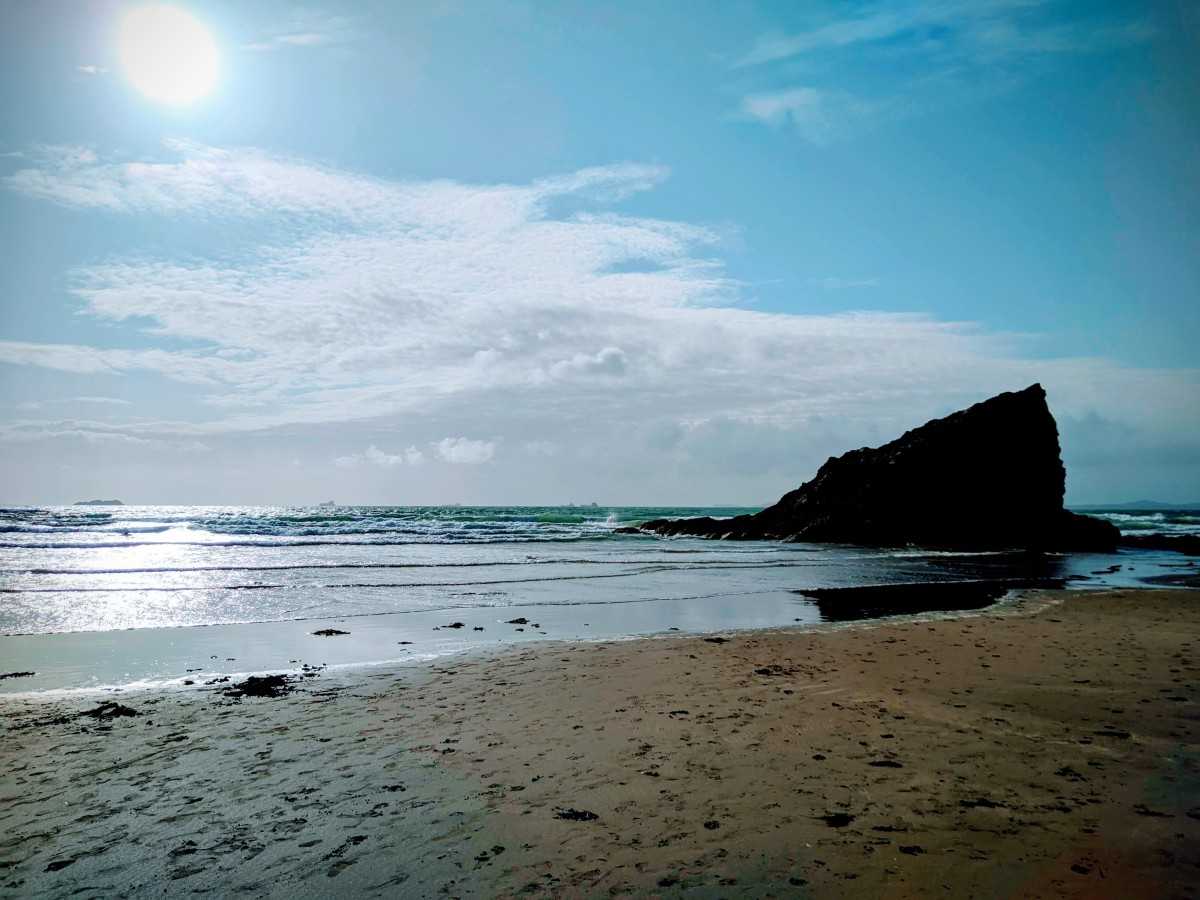
Start your day with breakfast on site, or head to one of the cafés in the village as you pass through to rejoin the coast path. If the tide is out you can start the next section of the walk by going along the beach; at other times you’ll need to stick to the path to avoid getting cut off. Either way, you’ll soon pass through the village of Little Haven (which has more eating options) and head towards St Brides.
As you come past Brandy Bay and towards Mill Haven, look out for an ancient lime kiln and a contemporary sculpture commissioned in the 1990s to complement the coastal landscape. The path continues on to St Brides, a tiny village that’s home to an old pump house and church, and a couple of Iron Age sites at Nab’s Head and Tower Point.
Carry on walking along the coast path until you hit Musselwick beach (where you can have a paddle or swim if you like), and then turn inland along the footpath to Marloes village and your base for the night at Foxdale Campsite. Pitches here are peaceful and sheltered from coastal breezes – and they’re also only a few minutes’ stroll from the local pub for a filling dinner and a pint of local ale.
Day 5: Marloes to Dale
12 miles
Start your final day of walking with a good breakfast at one of the cafés in the village before retracing your steps to Musselwick and rejoining the coast path towards Martin’s Haven. Once there you can either add a little extra mileage by completing a circuit of the headland known as the Deer Park, or stick to the coast path as it cuts across to Deadman’s Bay.
From here it’s a fairly easygoing walk for your last day, with only a few steep stretches and some fine views out towards the islands of Skomer and Skokholm. You’ll pass by several small coves along the route as you head towards the lovely Marloes Sands – this long sandy beach is a great place to cool your feet with a paddle, but note that there’s no way back to the coast path at the far end so you’ll need to go back up the way you came.
After Marloes Sands, the final leg takes you around St Anne’s Head – although you can take a short cut straight into Dale and the finish point if you’re running short of time. The circuit of the head passes St Ann’s Head Lighthouse and a couple of forts (Iron Age and Victorian) along with the pretty beach at Watwick Bay before getting to Dale, where a pub specialising in seafood awaits.
Dale is served by the Puffin Shuttle bus for your onward travel – but if you don’t have to rush off, we’d suggest a leisurely dinner in the pub followed by another night at Foxdale Campsite. The following morning, use the local bus to take you back to Martin’s Haven for a wildlife-spotting trip on the Dale Princess in search of the puffins that live around the islands.

Pembrokeshire coast circular walks
If you’re on a shorter break, or would like to incorporate coast path walks with other activities on your Pembrokeshire holiday, here are a few ideas of places to stay for coastal and circular walks.
St Davids
Britain’s smallest city makes a great base for holidays that mix up coast walks and other outdoor activities. Choose a campsite here to take walks around Solva and the St Davids Peninsula, climb hills like Carn Ffald, go surfing at Whitesands or join intrepid coasteering outings. There are lots of lovely places to eat too, and historic attractions such as the cathedral and Bishop’s Palace.
See all campsites near St Davids
Newport
Newport, on the north Pembrokeshire coast, makes a good choice for those who would like to explore quieter stretches of the coast path and hidden coves like Cwm-yr-Eglwys. There are some interesting options for inland walks here as well, around historic landmarks including Castell Henllys Iron Age Village and the Pentre Ifan burial chamber.
See all campsites near Newport
Tenby
This popular seaside destination is also a handy location for day walks north to Saundersfoot or west to Manorbier, and for the fabulous coast path section from Barafundle Bay to Stackpole. In between walks, spend time on the town’s beaches, take a boat trip to Caldey Island or visit local attractions like Carew Castle.
Pembrokeshire Coast Path FAQs
How long is the Pembrokeshire Coast Path?
The Pembrokeshire Coast Path is 186 miles long, and usually takes around 12 days to complete on foot.
Where should I stay near the Pembrokeshire Coast Path?
There are several campsites along the route of the coast path, or close by, which make convenient and affordable places to stay if you’re following the whole path. Alternatively, you can choose a base in a bigger town or city like Tenby or St Davids and choose shorter sections for day walks.
Can I use public transport to get to the Pembrokeshire Coast Path?
Yes – the whole of the coast path is served by bus services that have great names including the Puffin Shuttle and the Poppit Rocket. Buses usually run all year round, although they are less frequent outside of peak summer months.
Is the Pembrokeshire Coast Path suitable for dogs?
It’s fine to take dogs on the Pembrokeshire Coast Path, but you’ll need to be careful on cliffs and keep them on a lead, especially around livestock (including sheep and any seal pups that may be around). Be aware that there are stiles on the route that dogs may need to be lifted over, and that restrictions may be in place on some beaches in summer.