The Best Hikes in the South Downs

With 628 square miles of stunning countryside to its name, the South Downs National Park is a wonderful place to hike or walk, whatever your age or ability. The national park website lists all sorts of trails on its excellent walking hub page, covering everything from short family-friendly walks and ‘Miles Without Stiles’ trails to multi-day challenges.
The South Downs National Park is home to over 2000 miles (3000 km) of public pathways, so there’s a huge amount of choice. With that in mind, in this article we’ve picked out a selection of the best hiking trails in the South Downs, all intended for hikers of at least moderate fitness and with a bit of walking experience. If you’re a novice walker looking for something a bit shorter and easier, take a look at our South Downs walks article, which details more approachable routes.
The best hike in the South Downs
There are lots of fantastic hiking trails in the South Downs, so picking just one to be named as the best is a difficult task. However, there’s one route that stands out as a favourite among locals and visitors alike – this coastal trail from Seaford to Eastbourne. It’s scenic, moderately challenging and easy to do by public transport – what more could you ask for?
Seaford to Eastbourne
Start: Seaford railway station
End: Eastbourne railway station
Distance: 13.5 miles (22 km)
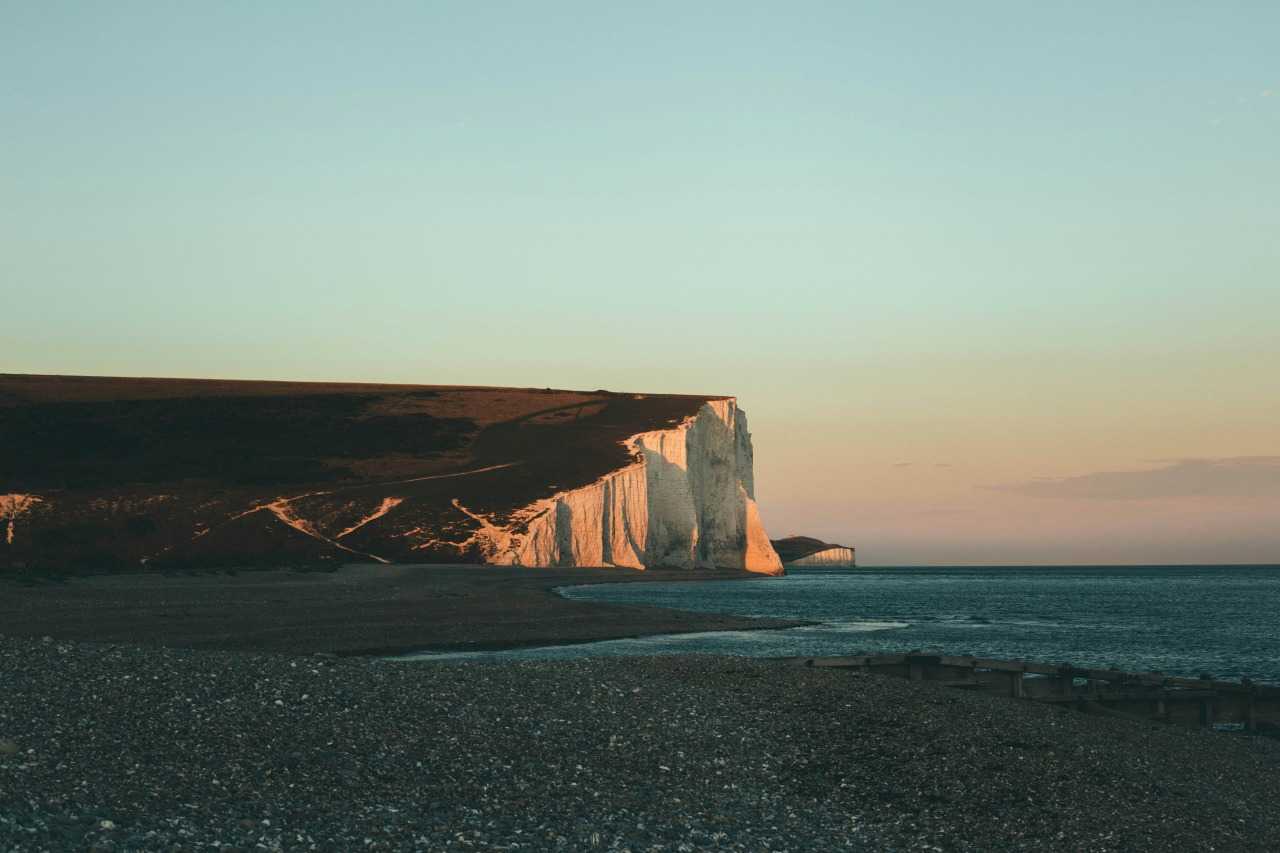
This full-day hike runs along the south coast and is packed with scenic spots including the iconic Beachy Head striped lighthouse and the soaring white Seven Sisters cliffs. It also passes through the riverside nature reserve at Cuckmere Haven and has toilets, a café and plenty of picnic spots along the way. You can walk this trail in either direction, but eastwards is preferable as it gives better views of the Seven Sisters cliffs, and allows you to finish in Eastbourne for a paddle in the sea and a drink in one of the pubs.
This is a long walk and there’s a fair amount of ascent and descent along the route, but there’s nothing technical or hugely steep here so it should be doable for anyone of moderate fitness – just bring plenty of water and snacks and plan to take plenty of scenic rest stops along the way (you may sometimes come across an ice cream van, too). It’s also easily accessible by public transport, starting and ending at railway stations and with a bus route running between the two if you want to return to the start point.
Local tip: If this distance is too long for you, there are several ways to shorten this route including a circular hike taking you from Seaford to Hope Gap and back again. You can also cut out some distance by timing your walk to coincide with low tide at Cuckmere Haven – this will allow you to cross the river (although you may still need to take boots off) rather than heading inland along the path.
More of the best South Downs hikes
Keen to explore more of this wonderful countryside? We’ve picked out a few more fantastic South Downs hiking trails for you to try out, all of them of a moderate/challenging level and easy to access by public transport.
Ditchling Beacon to Devil’s Dyke

Start: Ditchling Beacon car park/bus stop
End: Devil’s Dyke car park/bus stop
Distance: 7 miles (11 km)
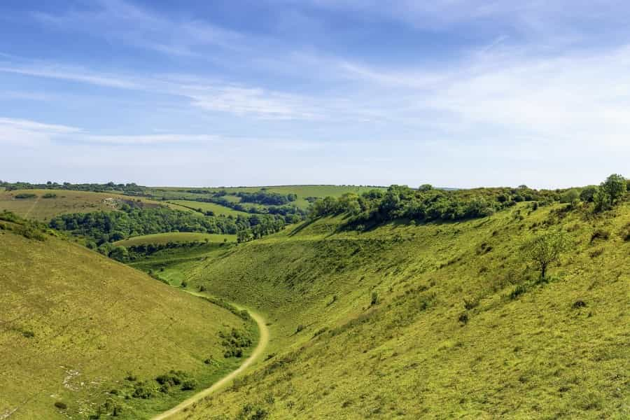
Taking you along a section of the well-marked South Downs Way, this seven-mile hike is a great way to link two of the top natural sights in the South Downs National Park. You’ll start at Ditchling Beacon, the highest point in East Sussex at 814 feet (248 m) above sea level, and make your way along to the mile-long Devil’s Dyke valley, once described by John Constable as ‘the grandest view in the world’. Along the way you’ll see the 19th-century Jack and Jill Windmills and pass through the pretty village of Pyecombe – so there's plenty of interest on this route.
The start and end points of this walk are linked by bus services run by Breeze Buses, so you can walk one way and get the bus the other way; these buses also run to Brighton, making this a handy South Downs walk to do by public transport. You can also lengthen the main route by doing a circuit of Ditchling Beacon and/or Devil’s Dyke – a handy national park map leaflet provides all the details.
Local tip: Near Devil’s Dyke you could also take a short detour to Saddlescombe Farm to visit the traditional donkey wheel and learn a bit about farming life across the centuries.
Lewes to Firle Beacon
Start: Lewes
End: Rodmell
Distance: 12 miles (19 km)
This long and challenging trail makes a fantastic full-day hike, taking you through some stunning South Downs scenery, with plenty of variety along the way. You’ll start in Lewes and end in Rodmell; as the two are linked by a short train ride (use Southease station for Rodmell) it’s easy to complete the circle, or to access the whole route by public transport.
There’s a decent amount of ascent and descent on this route, but it’s never too steep – and the rewards from the top of Firle Beacon are certainly worth the climb. Other interesting spots to look out for along the way include the Iron Age fort at Mount Caburn, views across the Glyndebourne estate (famous for its opera house) and the 15th-century Firle Manor.
Local tip: Finishing your walk in Rodmell, you might like to pop into Monk’s House, the former home of writer Virginia Woolf (opening hours are limited, so check before setting off), or just sip a well-earned pint of local ale at the 15th-century Abergavenny Arms.
Arundel and Amberley circular

Start/end: Arundel
Distance: 12 miles (19 km)
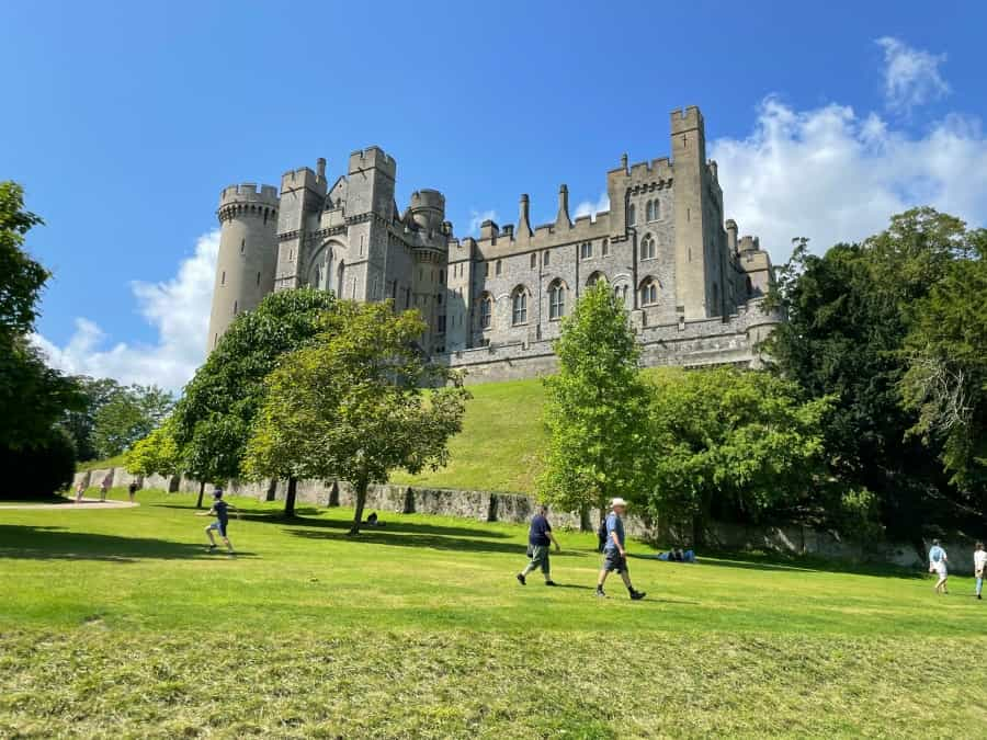
Another good long trail to fill a whole day, and another great South Downs hiking trail that's accessible by public transport, this time via train to Arundel. There’s a good bit of climbing here, especially across the South Downs ridge, and paths can be muddy and/or overgrown, so you’ll need to be well prepared with proper walking kit for this trail – proper boots are a must, and long trousers and a walking pole would also be a good idea.
With woods, open fields and a lovely long riverside stretch forming part of the 12-mile route, there’s a good amount of variety when it comes to scenery. You may also be pleased to hear there are some great pubs along the way for refreshments – particularly in Amberley and by the river – or you can save yourself for a drink in one of the excellent watering holes in Arundel.
Local tip: Amberley also has a railway station so you can easily cut this route in half and head back to Arundel on the train if you’re finding it a bit hard going, or if the weather takes a turn.
Chanctonbury and Cissbury Rings
Start/end: Findon
Distance: 8 miles (13 km)
The South Downs may be the UK’s youngest national park, but it’s actually packed with history – as this 8-mile trail will show you. This moderately difficult route links two of the park’s Iron Age hill forts, which have been here for more than 5000 years. There are fantastic views from the top of both hill forts, and some great wildlife to look out for as well – these are habitats that have been in place for centuries, and provided a home for rare flowers as well as birds and butterflies.
This circular hiking trail starts and ends in Findon, which has both a car park and a bus stop. Navigating the hill forts requires a fair bit of climbing, and the trails can sometimes be muddy and slippery, but as long as you’re careful this trail should be suitable for walkers of most abilities.
Local tip: If you’re looking for a shorter hike, you can instead follow the 3.5-mile circular trail from Findon to Cissbury Ring only. Both the main walk and this shorter option are detailed in a national park map leaflet.
Best multi-day hikes in the South Downs
If one day just isn’t enough, how about taking on one of the long-distance trails in the South Downs? As well as the South Downs Way, the only National Trail to be entirely within a national park, several other long-distance trails run through the South Downs. Completing the full length of any of these is a great achievement if you have time, but shorter sections can be equally rewarding.
South Downs Way

Start: Winchester
End: Eastbourne
Distance: 100 miles (160 km)
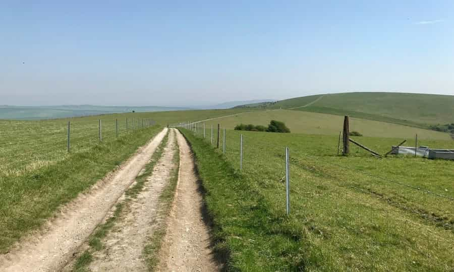
The 100-mile South Downs Way is one of the best hiking trails in the south of England – and parts of it form the skeleton of numerous South Downs circular walking trails as well. If you’d like to complete the full 100-mile trail it will usually take 7 to 10 days, depending on how many detours you take for views, attractions and overnight stops. Camping along the route is the best way to do the trail on a budget – if you fancy giving it a try, have a look at our guide to camping on the South Downs Way.
Walking the South Downs Way is a bit like a greatest-hits compilation of the park’s top sights, taking in many of the places listed in the hikes above. You’ll pass Devil’s Dyke, the Seven Sisters cliffs and Lewes, as well as having the chance to explore Winchester and Eastbourne at the start and end points.
The Serpent Trail
Start: Haslemere
End: Petersfield
Distance: 65 miles (106 km)
Shorter and less well known than the South Downs Way, but no less scenic, the Serpent Trail makes a great alternative walk for those looking for something a bit different. Taking its name from the fact that it follows a snake-like route through the national park, this is one of the quieter long-distance trails in the area – you may well not see many other walkers along the way.
Follow the snake logo markers to stick to this trail, which is divided into ‘head’, ‘body’ and ‘tail’ sections and passes through several villages along the way (most with public transport options for ease of dividing this trail into shorter sections). The majority of the route runs through rare heathland, which is populated by all sorts of wildlife including birds, butterflies, lizards and, yes, snakes. You’ll also pass by a few historic sites and some of the sculptures that form part of the Heathland Sculpture Trail.
Wealdway

Start: Gravesend
End: Eastbourne
Distance: 80 miles (129 km)
Where the South Downs Way runs east-west across the park, the Wealdway covers the north-south axis, running through both the South Downs and the North Downs on its route from the Thames Estuary to the English Channel. Passing through the High Weald and across the Greensand Ridge as well, there’s a good amount of up and down on this 80-mile trail. There’s also a lot of variety in the views – you’ll pass through forest, meadow, chalk hills and heathland, passing through several towns and villages on the way. The South Downs section includes views of the Cuckmere River and the Long Man of Wilmington, among other sights.
The Wealdway is another of the area's less-trodden paths, so you may well have some stretches of it almost to yourselves (although some sections of it do form part of a shorter circular walk). You can walk it in either direction, but starting in Gravesend and heading south is preferable, not least because you’ll have sea views for the final stretch, and can end with a well-earned paddle or swim in the sea.
There’s a short guide to the Wealdway on the LDWA website, but it’s a good idea to invest in the detailed guidebook before setting off.
Monarch’s Way
Start: Worcester
End: Shoreham-by-Sea
Distance: 615 miles (990 km)
You’ll need a lot of time on your hands if you’re going to complete the full length of the Monarch’s Way. At 615 miles, this is one of the longest walking trails in England, although there are a few shortcuts (such as skipping the leg to Charmouth) that can lop off a fair few miles. Starting in Worcester and heading down to Shoreham-by-Sea, the trail follows the route taken by King Charles II after his defeat by Oliver Cromwell in 1651. The South Downs section is the final leg, and you’ll come to it after passing through several National Landscapes, including the Cotswolds and Mendip Hills.
It goes without saying that you’d need to be a fit and experienced hiker to tackle this trail, although many people choose to make it a long-term project completed in several sections over a year or more, rather than doing the full 615 miles in one go. There’s a huge amount of detail and information on the Monarch’s Way Association website, which also has links to guidebooks covering the various sections of the trail.
Mighty Hike South Coast
If you want to combine your love of hiking with the chance to do some good, Macmillan’s Mighty Hike events are a great way to do just that. The cancer charity runs several events in beautiful areas around the UK, with participants paying a registration fee and then pledging to raise a minimum amount for the charity. In return, you’ll get things like a hiking top at the start and a medal at the end, plus access to lunch, snacks and toilets along the route.
The Mighty Hike South Coast route runs through the South Downs National Park, and you can choose from a full marathon length (26 miles) or a half marathon (14 miles). Both trails pass through some stunning countryside scenery before heading to the coast for the final leg. Whichever one you sign up for, there’s a really warm and supportive atmosphere at these hiking events, with walkers supporting each other to finish the challenge.
The Macmillan website has full details of this event and all the others around the country, covering everything from route maps and kit lists to training plans and fundraising ideas. If you can’t make this event, there are other options including the Royal Marsden’s South Downs Challenge and The Passage’s South Downs Trekathon, which has several shorter options.
Tips for hiking in the South Downs National Park
A little bit of preparation goes a long way in making your South Downs hike run smoothly – whether you’re taking on a long-distance trail or sticking to short circular hikes. The most important things are to choose a route that suits your ability and fitness level, and to keep an eye on the weather. Beyond that, we’ve listed a few key tips below for a safe and enjoyable day out:
-
Wear suitable clothing for your hike, including good hiking boots
-
Remember the weather can change suddenly, so always pack a waterproof, a sunhat and suncream
-
Download an offline map or have a printed map to hand even if using a GPS device; mobile reception can sometimes be patchy in the South Downs
-
Don't overpack, but make sure you've got all the essentials including a first-aid kit, snacks and plenty of water
-
Stick to marked trails and avoid shortcuts, for your own safety and to avoid damaging the environment
-
Keep dogs on leads, especially around livestock and close to cliff edges
- Follow the Countryside Code, take all litter with you, and generally leave no trace
Planning your South Downs hiking holiday
Lots of these South Downs hiking trails make for a great day out, whether you live locally or are visiting the area. If you’d like to explore this beautiful countryside and coastline more thoroughly, the South Downs is a wonderful place for a weekend away or a longer break – either completely focused on hiking or mixing up your hikes with other activities like horse riding or visiting the area’s historic sights.
With lovely views all around and a fairly mild climate, the South Downs is a fabulous place to go camping – Pitchup has a good collection of South Downs campsites, ranging from budget-friendly simple farm sites to luxurious glampsites and all excellent options for making the most of your outdoor time.