The Best Hikes in Northumberland National Park
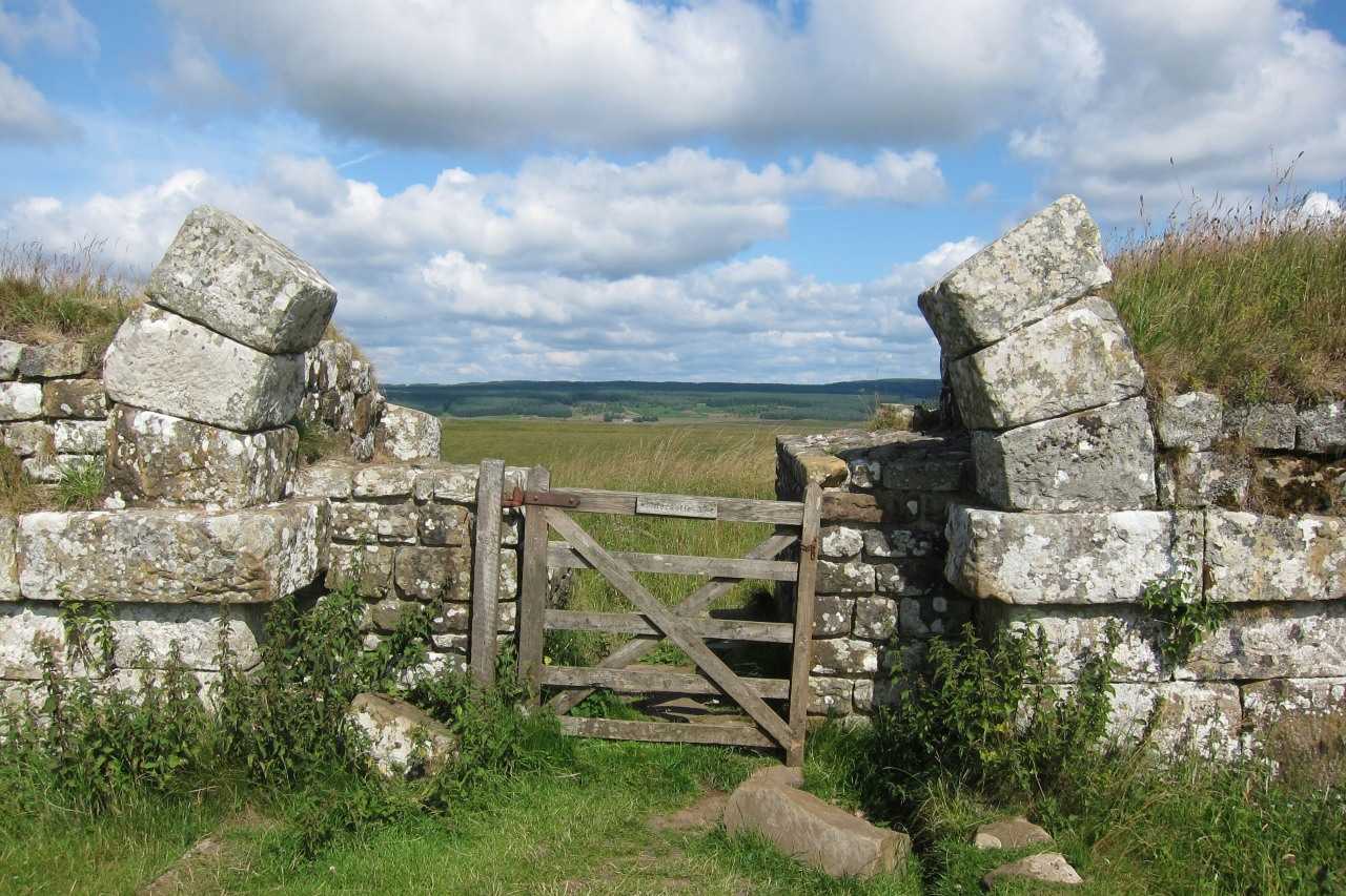
Have you built up your stamina and experience on Northumberland’s best walking trails? Are you looking to take on tougher trails, cover greater distances and visit the parts of the national park that most visitors never reach? This page is dedicated to challenging hikes in Northumberland, from multi-day long-distance routes to invigorating half-day adventures. With Hadrian’s Wall hikes, coastal trails and inland routes through the Cheviots and Coquetdale to explore, you’ll be lacing up your boots and striding out through the spectacular scenery in no time.
Long-distance hiking routes in Northumberland
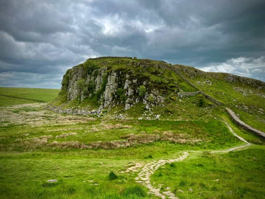
Hadrian’s Wall Path
Explore ancient history and stunning upland landscapes on one of Britain’s best coast-to-coast walks.
Start point: Bowness-on-Solway
End point: Wallsend, Newcastle
Distance: 84 miles (135 km)
While it also runs through northern Cumbria, the Hadrian’s Wall Path mostly runs through Northumberland, with much of the route heading through the scenic hills of the national park as it makes its way towards the coast.
Passing through peaceful villages, and taking in Roman hillforts and rugged moorland landscapes, the Hadrian's Wall Path takes the average walker about a week to 10 days to complete. The hike is challenging in places – particularly between Chollerford and Birdoswald, where there are lots of up and downhill sections in quick succession – but reasonably experienced walkers won’t find it too difficult most of the time.
Many prefer to walk from west to east to keep the prevailing wind at their back, but there’s no right or wrong way to explore this long-distance route. It’s also possible to complete just a few stages of the walk using public transport – the AD122 bus service operates throughout the year between Hexham and Haltwhistle, where connecting rail services are available for onward travel.
Northumberland Coast Path
Castles, beaches and heritage sites – a long-distance route that has it all…
Start point: Cresswell
End point: Berwick-upon-Tweed
Distance: 62 miles (100 km)
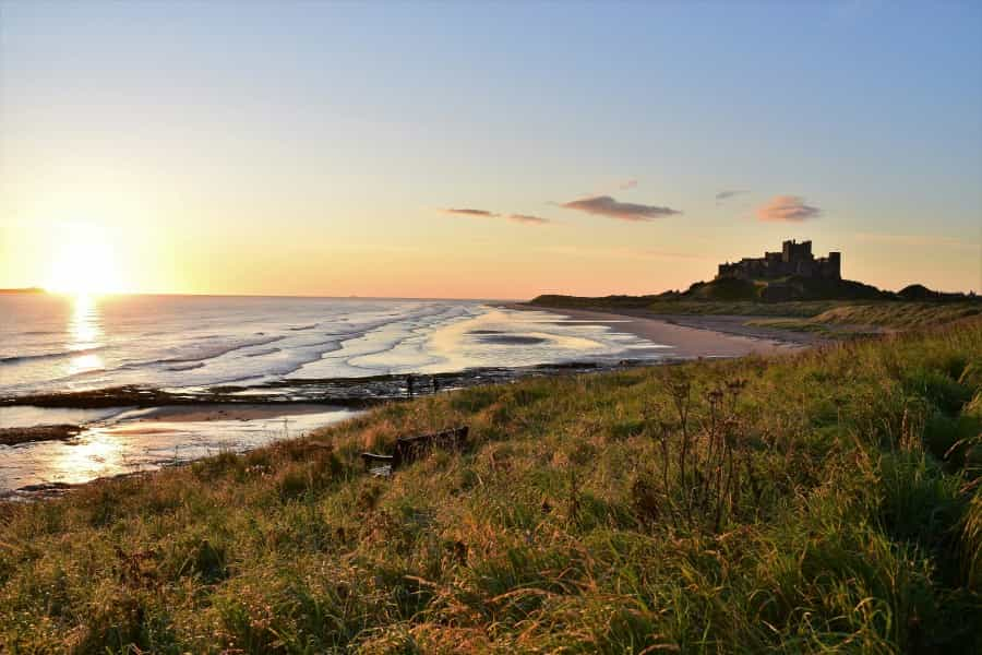
Spanning the full length of the county’s coastline, the Northumberland Coast Path runs from Cresswell just outside Tyneside in the south to Berwick-upon-Tweed at the Scottish border in the north.
Passing through traditional fishing towns like Amble and Seahouses and with stunning views of castles like Warkworth, Alnmouth and Bamburgh, this route is great for those keen to discover more about the history and heritage of North East England. The highlight for many will be exploring the Holy Island of Lindisfarne, the site of the first Viking raid in Britain in 793 AD.
The route mostly sticks close to the coast, with well-made and relatively flat paths for most of the hike, and there are few stiles. However, there are a few sections where there are steep climbs, and the route can become muddy or slippery in the winter months or after heavy rain. Take care if walking on the beach or on the causeway to Lindisfarne and check the tide times before heading out.
Many prefer to walk north along the route to keep the sun out of their eyes and the wind at their back, but it's possible to take on this route in either direction.
St Cuthbert’s Way
A cross-border pilgrimage linking the Cheviot Hills to the Scottish Borders.
Start point: Melrose
End point: Lindisfarne
Distance: 62 miles (100 km)
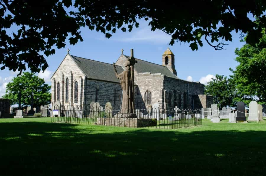
Half in Scotland and half in England, St Cuthbert's Way is a fascinating pilgrimage route that connects Melrose Abbey in the Scottish Borders to the Holy Island of Lindisfarne off the Northumberland coast. Passing through the little-explored but scenic Eildon Hills before crossing the river Tweed into England, the route continues through the Cheviot Hills, passing Cessford Castle, before descending down to the coast for its final stretch.
Many hikers, but by no means all, walk this route for spiritual reasons, but there's something for everyone here, from scenery to history. The hike is well signposted and accessible to most walkers with a reasonable level of stamina and fitness, but it's generally a lot quieter than better-known routes like the nearby Hadrian's Wall Path or the Northumberland Coast Path. Despite this, there are lots of places to stop off for rest and refreshments along the way, and various baggage transfer options are available if you'd prefer to take some of the weight off your shoulders.
Day hikes in Northumberland
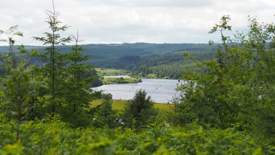
Kielder Water
Start/end point: Kielder Water car park
Distance: 27 miles (43 km)
Kielder Water is the largest man-made lake in northern Europe, with capacity to hold up to 200 billion litres. Since the flooding of the valley, the reservoir and its surroundings have become a popular area for recreation, with everything from fishing to mountain biking available. This long full-day walk encircles the lake and is broadly flat and on well-made paths, with stunning views over the reservoir and surrounding countryside at every turn.
If taking on the full trail is too demanding for you and your group, you can combine your hike with a crossing on the Osprey Ferry for a shorter day out.
The Cheviot Walk
Start/end point: Langleeford
Distance: 8 miles (13 km)
The Cheviot Walk is a challenging one-day hike that takes you up to the highest point in Northumberland at 815 metres/2670 feet. The peak known as The Cheviot is a wide, dome-shaped hill with fantastic views from the top. On a clear day, you can expect views of the North Sea and over the Simonside Hills into Cumbria. The hike also takes in two other hills, Cairn Hill and Scald Hill, with a pleasant flat section along Harthope Burn to compensate for all the uphill climbing elsewhere.
Upper Coquetdale
Start/end point: Alwinton car park
Distance: 8 miles (13 km)
Lace up your boots for an eight-mile adventure through the heart of Northumberland's Cheviot Hills. This hike takes you across a rich tapestry of landscapes, from rolling green ridges with expansive views to dramatic steep-sided valleys. History and heritage are all around, from the old paths used by drovers taking their cattle to market to the remnants of illicit whisky stills.
Start your trek by following Clennell Street, an old drover's road that gently climbs from Alwinton. As you gain elevation, keep your eyes peeled – on a clear day, you can see the hills of the Scottish Borders stretching out before you. Following the grassy ridge of Copper Snout, continue through the hills before picking up the Pass Peth path and looping back to Alwinton.
For a map and more information, check out the BBC Countryfile website.
Half-day hikes in Northumberland
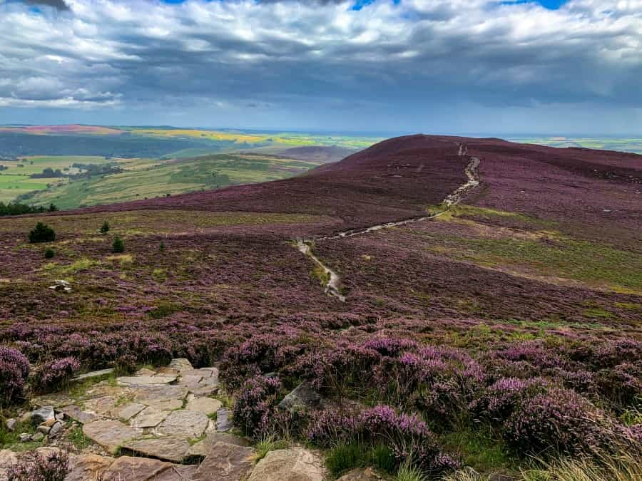
Simonside Hills
Start/end point: Simonside car park
Distance: 4.5 miles (7 km)
This circular Coquetdale hike takes about three or four hours to complete. With several inclines that are short but steep, there's a great pay-off when you reach the ridge at the top, especially if you're walking the route in the summer months when the heather is in bloom.
The summits of these sandstone hills are marked by cairns, so navigation is fairly straightforward. Along the way, you'll cross Cauldhole Moss, a boggy area said to be home to a will o' the wisp who lures unwary travellers away from safety (a fate that can usually be avoided thanks to modern GPS navigation). In the forest below the hills, there's also a Bronze Age cemetery, and various swords from the Celtic era have been found on the slopes of Simonside itself.
Otterburn Ranges
Another great area for half-day hikes in Northumberland is the Otterburn Ranges. A vast expanse of land owned by the Ministry of Defence, the Ranges are only open at certain times of the year, but there are half a dozen hiking trails here that are well worth the visit. With a rich mix of hills, loughs and woodlands to explore, this peaceful area is often overlooked by visitors to the area and is usually very quiet.
You'll need to visit the Otterburn Ranges website to read up on the official MOD guidance and check maps and opening times before setting off.
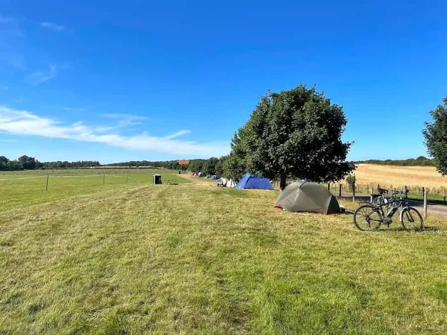
Whether you’re looking for a base for your hiking holiday or just a place to stop for the night, Pitchup has a wide range of campsites across Northumberland National Park and the county as a whole.
Keep in mind that many sites in this popular part of the North East do get busy during the summer months and school holidays – check availability now and start planning your trip in advance to avoid disappointment.