Cotgrave Club
 Momenteel geen beschikbaarheid op Pitchup.com


De eigenaar heeft geen informatie verstrekt.
Camping/parkeigenaar? - voeg informatie toe in het beheerdersportaal en beschrijf hoe geweldig jouw camping is.
Accommodatietypes & beschikbaarheid
Kies je datums, dan e-mailen wij je bij beschikbaarheid.
Geen beschikbaarheid voor jouw zoekcriteria
Beoordelingen
Nog geen beoordelingen.
Voorzieningen
Activiteiten op de camping
Afhaaldienst Avondprogramma Bar of clubhuis Binnenzwembad Buitenzwembad Fietsverhuur Fitnesscentrum Kinderclub Restaurant/café op de camping Speeltuin Spelletjeskamer Tennis Tv-ruimte Vissen WatersportenVoorzieningen op de camping
Afwasruimte Bad aanwezig Boodschappenwinkel Composttoilet Douche aanwezig Draagbaar toilet Droogruimte Gezinsbadkamer Gratis wifi Hondenpark Internetaansluiting Openbare telefoon Toiletgebouw Toiletten in pub Transferservice naar openbaar vervoer Vriezer voor koelelementen Wasserette WifiGroepen welkom
Familievriendelijk Mannen/vrouwengroepen welkom Motorrijders welkom Studentengroepen welkomRegels
Barbecue voorzien Barbecues toegestaan Bedrijfswagens toegestaan Honden toegestaan Kampvuur toegestaanFaciliteiten
Afvoerpunt chemische toiletten Gasflessen aanwezig Groene energie Oplaadpunt aanwezig Oplaadpunt(en) voor elektrische auto's RecyclingVoorzieningen in de buurt
Bar in de buurt Hondenuitlaatplaats in de buurtLocatie
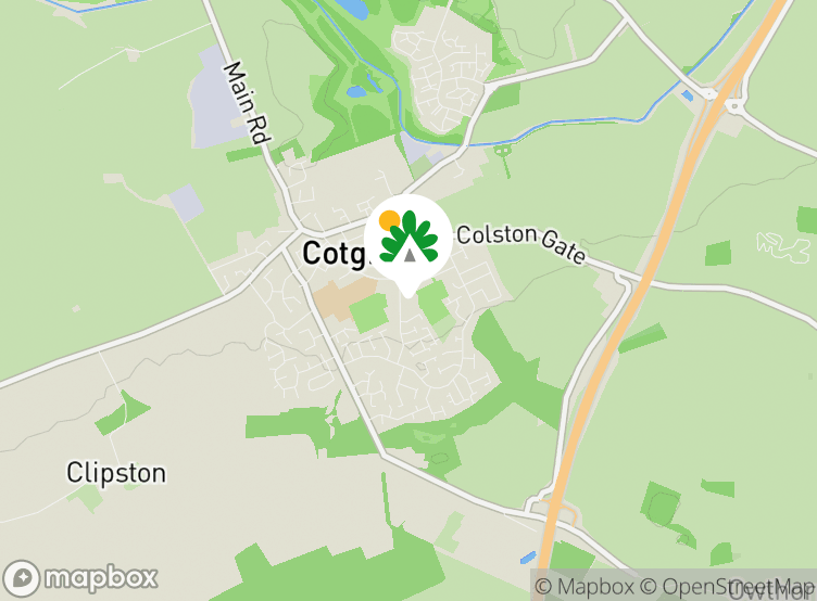
Cotgrave Club
woodview
Cotgrave
Nottingham
Nottinghamshire
Engeland
NG12 3PJ
 Routebeschrijving
Tijdzone
Europe/London +0100 (GMT+01:00)
GPS
52,90862°N
1,0341°W
Dichtstbijzijnd vervoer
 Bus
 Spoor
 Veerboot
 Vliegveld
Let op: Alle afstanden op deze pagina zijn hemelsbreed berekend – controleer daarom de werkelijke afstand, afhankelijk van hoe je reist, door op de knop 'Ga naar routebeschrijving' hierboven te klikken.
Lokale bezienswaardigheden
Eten en drinken
- Manvers Arms Pub 0,7 km
- Rose and Crown Pub 0,8 km
- The Shepherds Pub 2,9 km
- The Wheatsheaf Pub 3,4 km
- The Chequers Inn Pub 3,5 km
- The Plough Pub 3,6 km
- Plough Inn Pub 3,9 km
- Perkins Restaurant 4,2 km
- The Yard of Ale Pub 4,3 km
- The Chestnut Pub 4,3 km
Boodschappen
- Booze Buster Slijterij 0,3 km
- Co-op Food Supermarkt 0,3 km
- Heron Foods Supermarkt 0,3 km
- Co-op Food Supermarkt 4,3 km
- Morrisons Supermarkt 4,9 km
- Co-op Food Supermarkt 5,1 km
- The Co-operative Food Supermarkt 5,4 km
- Co-op Food Supermarkt 5,6 km
- Aldi Supermarkt 5,9 km
- Morrisons Supermarkt 6,1 km
Parken en speeltuinen
- Ring Leas Play Area park 0,4 km
- Broadmeer Play Area Speeltuin 0,7 km
- Cotgrave Country Park 1,5 km
- Keyworth Skatepark 4,4 km
- Geological walk park 4,4 km
- Geo-paving park 4,5 km
- Kinoulton Joint Use Play Area Speeltuin 5 km
- Rockley Memorial Park 5 km
- The Cliffs park 5,1 km
- Valley Road Play Area Speeltuin 5,3 km
Gezinsuitjes
- Naturescape Tea Room Toeristische attractie 8,1 km
- Rushcliffe Country Park Labryinth Toeristische attractie 8,4 km
- Tyre Maze Toeristische attractie 8,5 km
- Stonebridge City Farm Toeristische attractie 8,7 km
- City of Caves Toeristische attractie 8,8 km
- Speakers' Corner Toeristische attractie 9,3 km
- Nottingham Castle Kasteel 9,3 km
- Funstation Speelhal 9,4 km
- Zero Latency VR Speelhal 9,4 km
Openbaar vervoer
- Welfare P&R 0,04 km
- Little Meadow 0,2 km
- Candleby Lane 0,2 km
- Crosshill 0,3 km
- Woodview 0,3 km
- Lingford 0,3 km
- Ring Leas 0,3 km
- Cartbridge 0,3 km
- Colston Gate 0,3 km
- Bramble Way 0,4 km
In de buurt
- The Nottinghamshire Golf & Country Club Golfbaan 2,7 km
- Radcliffe-on-Trent Golf Club Golfbaan 3,8 km
- Stanton on the Wolds Golf Course Golfbaan 4,6 km
- Edwalton Municipal Golf Course Golfbaan 4,9 km
- Ruddington Grange Golf Club Golfbaan 7,7 km
- The Brickworks Nachtclub 8,3 km
- The Model Nachtclub 8,9 km
- NG-ONE Nachtclub 8,9 km
- Ocean Nachtclub 9 km
- The Irish Nachtclub 9 km
Lokale voorzieningen
- The Co-operative Geldautomaat 0,3 km
- Sainsbury's Bank Geldautomaat 0,6 km
- Bank of Ireland; Post Office Geldautomaat 4,3 km
- Cotgrave Surgery Doktoren 0,3 km
- Cotgrave Service Station Tankstation 0,8 km
- Fosseway Service Station Tankstation 1,9 km
- Spire Nottingham Hospital Ziekenhuis 3,5 km
- Cropwell Bishop Surgery Doktoren 3,6 km
- Esso Tankstation 4,2 km
- Radcliffe-on-Trent Health Centre Doktoren 4,2 km
- Well Pharmacy Apotheek 4,3 km
- Radcliffe Pharmacy Apotheek 4,3 km
- Shell Tankstation 4,4 km
Populaire bezienswaardigheid
The Lace Market Centre 8,8 km
Nottingham Castle 9,3 km
Wollaton Hall and Park 12,6 km
Belvoir Castle 16,9 km
Ye Olde Pork Pie Shoppe 18,7 km
Nationaal Beheer
The Workhouse, Southwell 20,2 km
Grantham House 26,4 km
Woolsthorpe Manor 29,2 km
Staunton Harold Church 30 km
Calke Abbey 31,6 km
Fietsroutes
Vind lokale routes op het National Cycle Network - bijna 20.000 kilometer aan fietsroutes.
Anders
HOLME PIERREPONT HALL 4,8 km
MEMORIAL GARDENS, NOTTINGHAM 7,6 km
Old Market Square Nottingham - Wollaton Hall - Nottingham 9,2 km
HUNGER HILL GARDENS, STONEPIT COPPICE GARDENS AND GORSEYCLOSE GARDENS 9,4 km
GENERAL CEMETERY 9,9 km
Let op: Alle afstanden op deze pagina zijn hemelsbreed berekend – controleer daarom de werkelijke afstand, afhankelijk van hoe je reist, door op de knop 'Ga naar routebeschrijving' hierboven te klikken.
Wil je meer weten over kamperen in Nottinghamshire?
Veelgestelde vragen
- Heeft Cotgrave Club een zwembad? Nee Bekijk alle faciliteiten
- Is Cotgrave Club hondvriendelijk? Nee Bekijk alle faciliteiten