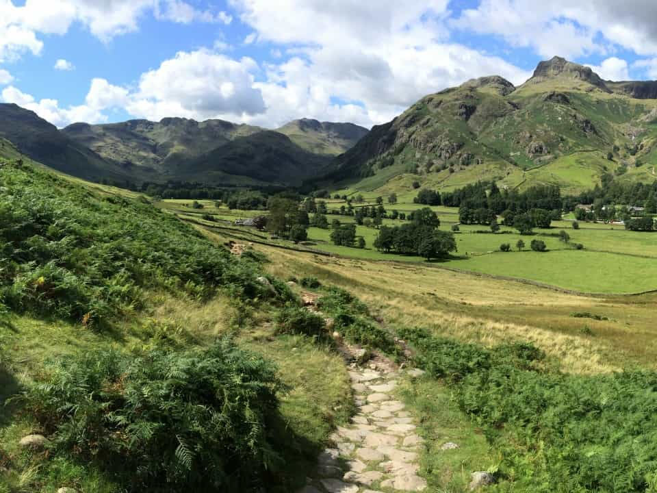
Best Hikes in the Lake District
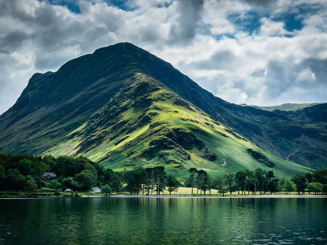
If you want to experience big hills and even bigger views, nothing quite beats hiking in the Lake District. England’s largest national park is home to loads of exciting terrain, including the country’s 10 highest peaks and 16 of its most stunning bodies of water. All sorts of challenging trails traverse this rugged landscape, connecting high mountains to valleys, tarns and peaceful farmland.
Picking out the best hikes in the Lake District is no mean feat – there are so many excellent options around the area’s epic landscapes – but the outdoor experts at Pitchup.com have come up with a list of five routes that true adventurers won’t be able to resist.
What's the difference between a walk and a hike?
Before getting started, it’s worth running through some definitions. For most people, a walk becomes a hike when the route involves steeper climbs, longer distances and more challenging conditions. For example, you might experience big temperature drops during your ascent and have to deal with unexpected changes to the weather.
Hiking safely and successfully also requires different equipment to what you’d typically take on a more moderate walk – think sturdy boots instead of trainers, paper maps or a GPS device instead of your phone and walking poles to help you negotiate tricky terrain.
This page is all about Lake District hikes at the more challenging end of the spectrum. If you’re looking for ideas for less strenuous routes in the Lake District, take a look at our run-down of the area’s best walks instead.
Helvellyn – the best hike in the Lake District
Distance: 4.4 miles/7 kilometres (shortest route) to 10.6 miles/17 kilometres (longest route)
Ascent: About 1000 metres (depending on route)
Time: 3-6 hours
Map: OS Explorer OL5 The English Lakes - North Eastern area
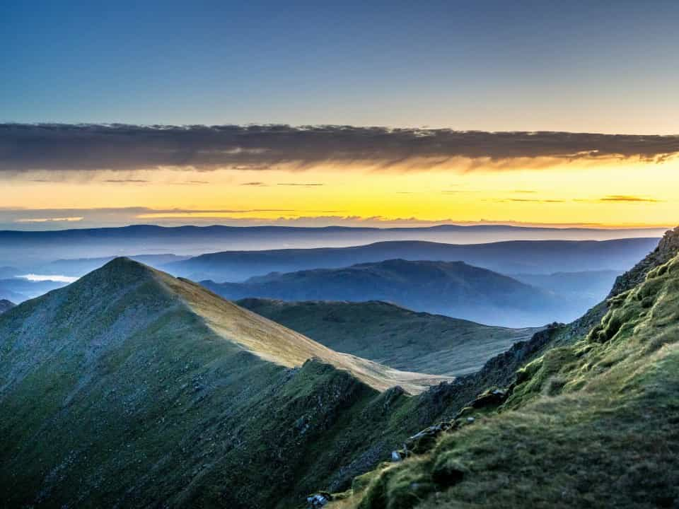
Jagged ridges and panoramic views over Ullswater make Helvellyn a strong contender for the title of best hike in the Lakes. There are various routes up this formidable mountain, so everyone from new hillwalkers to experienced mountaineers will have plenty of options.
Those who want a scenic hike that’s straightforward but still brings a sense of achievement and adventure should consider taking the path up from Thirlmere for a circular route that avoids the steepest sections of the ridges.
Taking the route up Striding and Swirral Edge is spectacular but a much more serious undertaking – scrambling up and down huge boulders is involved, and there are several sheer drops where getting vertigo and panicking could be dangerous. That being said, this is an exhilarating circular route that gives you a sense of the sheer power of nature – what better way to appreciate these ridges, carved by glaciers at the end of the last Ice Age, than to spend a day clambering over them?
More amazing Lake District hikes
Haystacks
Distance: 5 miles/8 kilometres
Ascent: 600 metres
Time: Around 3 hours
Map: OS Explorer OL4 The English Lakes - North Western area
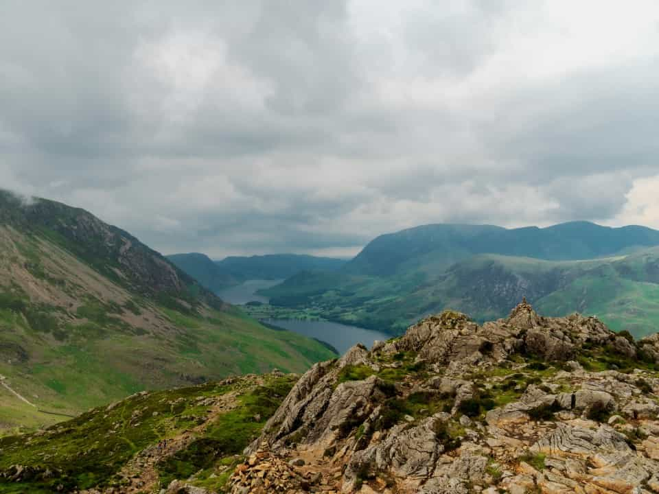
A favourite of Arthur Wainwright, the guidebook author and walker who arguably did more than anyone else to champion the Lake District in the 20th century, Haystacks is a fun and scenic hike that anyone with a decent level of fitness can do. While a few sections require careful walking, the route isn’t intimidating and passes several pretty becks (streams) and tarns (small mountain lakes). On your way down you’ll also have fantastic views of Buttermere, where anyone with energy left over can enjoy wild swimming after their hike.
Langdale Pikes
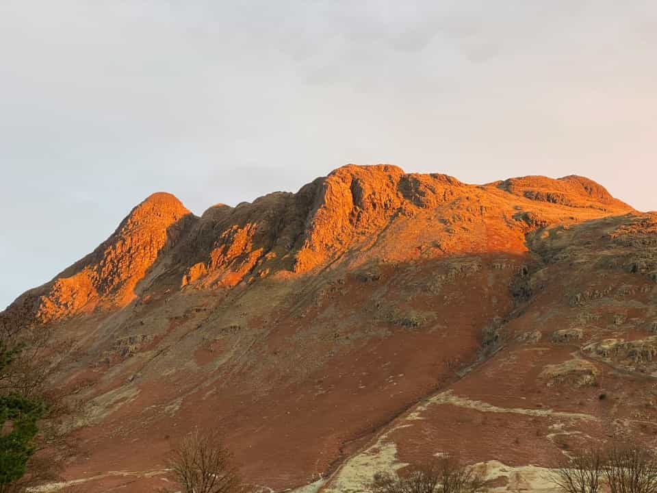
Distance: 5.6 miles/9 kilometres
Ascent: 870 metres
Time: 4 hours+
Map: OS Explorer OL6 The English Lakes - South Western area
Several hills in one hike, anyone? Set in a remote part of the Lake District, Langdale Pikes has an out-and-back section up to a large tarn, followed by a circular route that takes walkers on a tour around a number of pikes, knotts and stickles (all peaks of varying steepness). On a clear day you’ll be able to admire Scafell Pike, Rydal Water and Lake Windermere from the top. It can get boggy up here at times, so consider saving this route for drier weather.
Scafell Pike
Distance: 5.2 miles/8.4 kilometres (shortest route) to 10.6 miles/17 kilometres (longest route)
Ascent: 900 metres to 1130 metres (depending on route)
Time: Around 5 to 7 hours (depending on route)
Map: OS Explorer OL6 The English Lakes - South Western area
There are several ways up and down England’s highest mountain, so you can adapt your day out to your fellow hikers’ confidence, your energy levels that day and the weather conditions. Bear in mind that there isn’t really much of a path on the plateau at the top, so you may need to bring a map and compass to keep your bearings, especially in foggy conditions.
The shortest route to the summit starts in Wasdale, but the slightly longer route up from Borrowdale is quite a lot gentler. To escape the crowds, you could also consider climbing to the top from Eskdale – an especially good idea on sunny summer days, when the main paths can get very busy.
The Cumbria Way
Distance: 70 miles/112 kilometres
Ascent: 2549 metres (if travelled south to north)
Time: Around 5 days to a week
Maps: OL6 and OL7 (Ulverston to Dungeon Ghyll); OL4 and OL5 (Dungeon Ghyll to Carlisle)
Up until now we’ve been focusing on hikes you can complete in just one day, but a long-distance walk on the Cumbria Way also deserves an honourable mention on our shortlist for the best hikes in the Lake District.
The majority of this route runs through the Lake District National Park, but the official path runs all the way from the coast at Ulverstone up to Carlisle, just 10 miles from the Scottish border.
There are plenty of reasons to hike the Cumbria Way. If you’re new to the Lake District, this route is a fantastic introduction to the local area, passing by all the most impressive scenery and through lots of cute villages at a peaceful pace. If you’ve already spent lots of time hiking up the Lake District’s hills, trekking at a lower altitude can offer a new perspective on your favourite peaks.
Planning your hike in the Lake District
Excited to embrace the hiking life but not sure what kit to bring? Check out our guide to proper walking attire and equipment to make sure you’ve got everything you need.
Wondering which map is best for the Lake District? We’ve mentioned the relevant Ordnance Survey Explorer map for each of the walks on this page, as they are the most detailed and very easy to find both online and in store. It’s also possible to use the OS Landranger series, which cover a larger geographical area – although they show less detail, they clearly display relevant paths and rights of way.
Wild camping is sometimes possible in the Lake District, but various rules and regulations apply. The National Park Authority does provide some clear guidance on wild camping.
It’s possible to bring dogs on all of these hikes, but your particular four-legged friend might not be safe on all routes. Issues dogs face in the Lake District include getting stuck between rocks, falling and getting distracted by sheep. If you’re unsure, forums like Reddit can be a good way to check with experienced hikers who know the area, or you could have a look at WalkLakes, which includes a brief assessment of how dog-friendly each of their routes is.
