The New Forest's Top Hikes

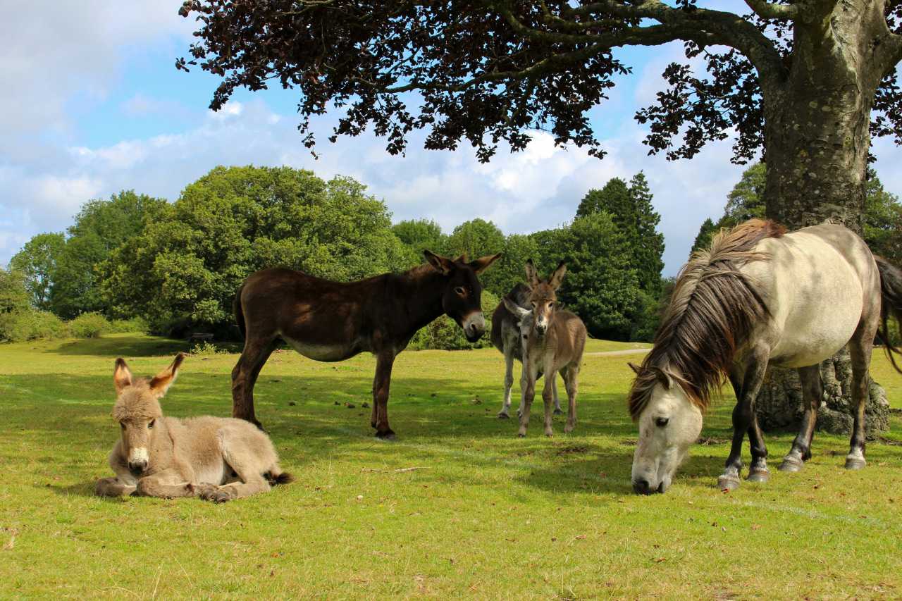
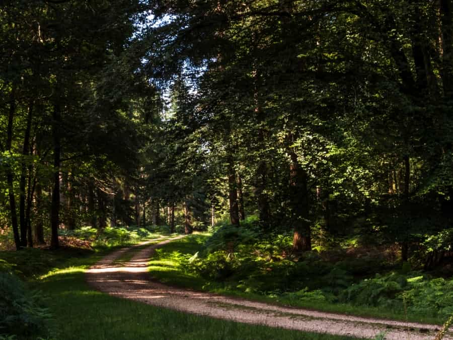
A typical hike in the New Forest National Park will take you through pastures, heathland and oak, pine and beech forest, all dotted with inclosures – fenced areas created to keep grazing animals out while young trees grow. Along with the great views on the heaths, you’re likely to spot plenty of the free-roaming New Forest ponies, donkeys, cattle and pigs that make an important contribution to the preservation of the local ecosystem, and the peaceful woodlands are home to deer, butterflies and squirrels. Our pick of the best hikes in the New Forest includes scenic circular routes, sections of two well-known long-distance paths, nature reserves, an impressive Iron Age fort and some famously tall trees.
The best hike in the New Forest

Fritham Circular Hike
Start/end: Royal Oak car park, Fritham
Distance: 10.6 miles (17 km)
The area around Fritham is one of the most popular for hiking in the New Forest, and this circular route on easily accessible paths includes woodland and heathland with panoramic views of the park, and the chance to spot wildlife including buzzards, New Forest ponies and roaming fallow deer.
The route takes you across Fritham plain on a footpath dotted with heather, hawthorn and gorse, through beech and oak trees in the Sloden Inclosure and past The Churchyard, site of a former Royal Hunting Lodge. After crossing Hallickshole Hill, at Windmill Hill, look out for the medieval Abbots Well (first recorded in 1215) and the huge concrete arrow head (a remnant of a former World War II bombing range) to the south of Hampton Ridge. Follow the path on to Picket Corner and the top of Island Thorns Inclosure, then down a path on the east side of the inclosure past Eyeworth Lodge and back to the Royal Oak, where you can enjoy a well-deserved drink.
The komoot website has a useful map of the route from Much Better Adventures, which includes a downloadable GPS file.
Multi-day hikes in the New Forest

If you prefer a longer walk, there are a couple of long-distance paths that include sections within the New Forest National Park.
The Avon Valley Walk
Start: Salisbury Cathedral
End: Christchurch Priory
Distance: 34 miles
This waymarked long-distance path between two historic churches follows the valley of the Avon River and includes a section from Ringwood to Christchurch that runs through the western edge of the park. The part between Ringwood and Sopley takes in common land, water meadows and woodlands. Look out for Tyrell’s Ford, where King Rufus was killed while hunting in 1100 by a stray arrow fired by Sir Walter Tyrrell, who later (probably wisely) fled to Normandy, crossing the river here.
Between Sopley and Christchurch the route passes the 13th-century St Michael and All Saints Church and Bronze Age barrows at St Catherine’s Hill before arriving at the impressive 11th-century priory. The Hampshire County Council website has a useful leaflet that will give you an idea of what else to expect along the way.
Local tip: The trail can be waterlogged from December to May, so summer is a good bet if you’re planning to try it out.
The Solent Way
Distance: 60 miles
New Forest section: Lymington to Hythe (16 miles/25.5. km)
This 60-mile waymarked path from Milford on Sea to Emsworth Harbour runs along the Hampshire coastline and passes through the New Forest en route.
If you’d like to walk the section in the park, it runs from Lymington along country lanes to Bucklers Hard, continuing along the wooded valley of the Beaulieu River and across the moorland of Beaulieu Heath to Hythe, a total of around 16 miles.
For a detailed breakdown of the route, and a useful leaflet, visit the Hampshire County Council website.
Other great hikes in The New Forest
There are plenty more New Forest hiking trails to explore, and here are a few of our favourites:
Lyndhurst to Beaulieu
Start: Bolton’s Bench Forestry Commission car park
Distance: 10 miles (16 km)
Linking two historic New Forest villages, this hike begins at Bolton’s Bench, a hilltop landmark crowned with a huge yew tree. There are great views over White Moor, Matley Heath and the surrounding woodlands from here, and you’ll often find grazing ponies and cattle. From here, you skirt the pretty 19th-century village cemetery and continue through the oaks and beeches of Mallard Wood and across open heathland to the Beaulieu River at Longwater Lawn, from where you'll follow the river into Beaulieu.
The New Forest Explorer’s Guide website has a map that includes the route as far as Longwater Lawn, and then offers a loop as a return.
Brockenhurst and Tall Trees Circular
Start/end: Brockenhurst
Distance: 11 miles (17.5 km)
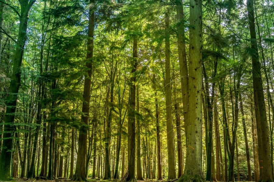
This scenic hike starts from the pretty village of Brockenhurst and includes a short loop around the famous Rhinefield Ornamental Drive and the 1.5-mile Tall Trees trail near Blackwater Arboretum that takes in soaring 160 year-old conifers, Douglas firs and two huge sequoia (redwood) trees. The route is largely flat and follows gravel paths that are suitable for both walkers and cyclists, passing through woodland and open grassland that can get a little muddy in autumn and winter. Look out for donkeys, ponies and deer along the way.
AllTrails has a handy map of the route, with the option (recommended) to download a GPS file.

Emery Down Circular
Start/end: Emery Down
Distance: 6.25 miles (10 km)
This quiet circular trail from the village of Emery Down takes in a mixture of heathland and forest criss-crossed by rivers and streams, with a high chance of spotting ponies, squirrels, deer and butterflies. You’ll come across some fine oak, beech and fir trees and enjoy expansive views of the woods and countryside on the way round. There’s a bit of a climb at the end, but you can congratulate yourself on making it up the hill with a pint at the charming 18th-century New Forest Inn.
Buckland Rings Trail
Start: Brockenhurst railway station
End: Lymington
Distance: 6.8 miles (11 km)
This easy-to-follow hiking trail from Brockenhurst to Lymington takes in the Roydon Woods Nature Reserve, Setley Plain and a well-preserved Iron Age hill fort at Buckland Rings. It has the added bonus of a tea shop en route and links two railway stations, so when you’re finished you can simply catch a train back to where you left the car.
The national park website has a handy downloadable leaflet that covers the route.
Planning your New Forest hiking trip
If you’ve decided to go hiking in the New Forest, you’ve made a great choice. With a huge network of trails to explore and everything from tall trees to New Forest ponies to discover, this beautiful national park is one of the best places to hike in the UK. If you'd like to explore beyond the trails we've listed, take a look at other websites including AllTrails’ Best Hikes in the New Forest National Park, and the New Forest National Park’s walking page, which includes a link to a free app with 40 walks and downloadable GPS files.
If you'd like to extend your time in this gorgeous scenery by staying overnight, take a look at Pitchup’s guide to the best campsites in the New Forest. Whether you pick a simple budget-friendly pitch or a stylish glamping stay, you'll be able to soak up even more of that fresh air as you enjoy a night under the stars.