Cycling in Pembrokeshire Coast National Park

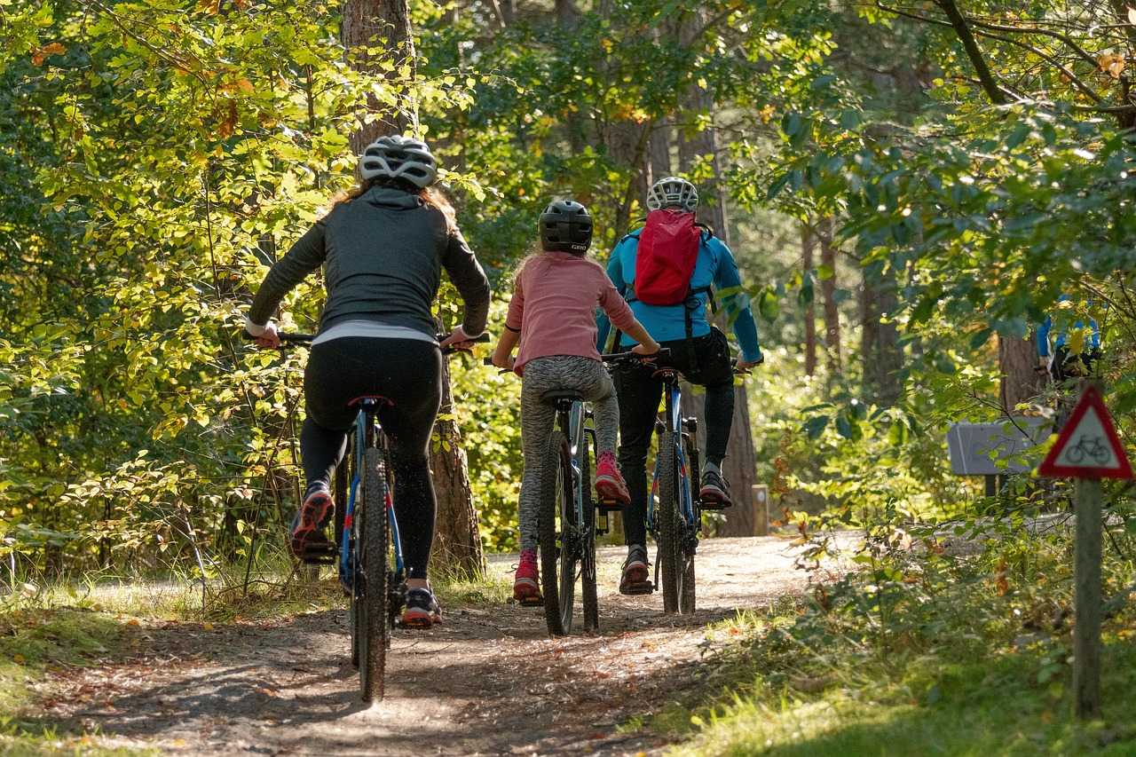
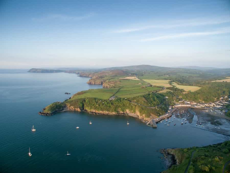
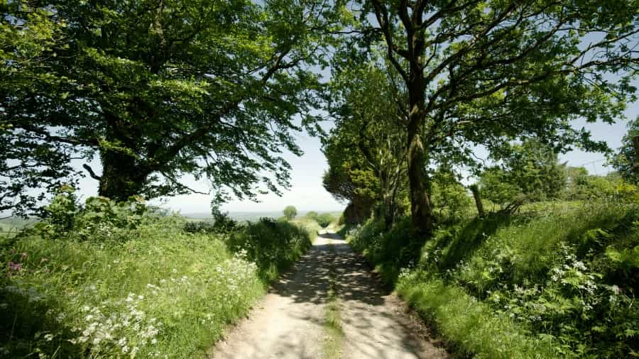
Whether you’re looking for a gentle family-friendly ride, a more testing road route or an adventurous off-road trail, Pembrokeshire Coast National Park has plenty of cycling options that cater for all levels of ability and experience. Our guide to cycling in the park takes in nature reserves, lakes and rivers, woodland, moorland and coastal rides, with superb views, historic landmarks and the chance to spot local wildlife en route.
Tip: If you’re planning a cycling holiday in Pembrokeshire there are many helpful sites online that can assist with route planning, and most include useful GPX files to download to your mobile device. Sustrans (the charity that created and maintains the National Cycle Network), Komoot and outdooractive are all good places to start looking.

Family-friendly routes
If you’d like to take your family cycling in Pembrokeshire Coast National Park, there are plenty of options. Here are some of our favourite family-friendly routes.
The Brunel Trail
Start: Haverfordwest
End: Neyland Marina
Distance: 8 miles (13km) one way
Time: 1-2 hours
Part of the National Cycle Network and suitable for all ages and abilities, the Brunel Trail is an easy, mostly traffic-free trail skirting the edge of Pembrokeshire Coast National Park, travelling along the route of the 19th-century Brunel railway line to the Brunel Quay at Neyland Marina. Along the way you’ll pass through water meadows at Cinnamon Grove, Bolton Hill Woods and the Westfield Pill Nature Reserve (look out for herons and otters), before riding along the Cleddau Estuary to the coast.
It is, of course, possible to follow the trail in either direction, and Sustrans actually suggests starting in the marina. We’re suggesting this way due to the presence of Mike’s Bikes in Haverfordwest, which has a range of bikes for hire, including three-wheeled trailers for young children. With its views of the marina and a couple of handy restaurants, Brunel Quay is a good place to stop for lunch, and the route isn’t too taxing, so perhaps you’ll ride both ways?
Llys-y-frân Lake
Start: Llys-y-Frân Visitor Centre
Distance: 6.5 miles (10 km) loop
Time: 1-2 hours
For another great family cycle ride, it’s worth venturing just outside the park to Llys-y-frân Lake. Part of the Llys-y-fran Country Park, this pretty reservoir has several different trails to try out, including the 2.5-mile Woodstock Route through the woods, an easy 3-mile Family Route and, if you fancy a challenge, no fewer than 12 different mountain bike trails of varying degrees of difficulty.
We’ve chosen this one, the Reservoir Route, which follows a well-maintained gravel track all the way around the water. Although it can be challenging in places, with some steep sections and hairpin bends on the western shore, it’s worth it for the fabulous views, the chance to see the water plunging over a dramatic dam, and the opportunity to spot kingfishers, herons and butterflies on the way. There’s no need to hurry after all – there are plenty of places where you could stop for a picnic, and since it’s a lakeside loop you can’t really get lost.
Full details of all the trails in the park are available on the park's cycling page. Bikes for adults and children (including e-bikes and trailers) are available to hire from the Visitor Centre, and we’d recommend booking in advance.
Saundersfoot to Wisemans Bridge (The Dramway Trail)
Start: Saundersfoot Harbour
End: Wisemans Bridge
Distance: 2 miles (3 km) one way
Time: 1-2 hours (out and back)
Following another former railway line on a route that was once used by horses pulling coal to Saundersfoot Harbour, this short, easy family ride runs along the coast of Saundersfoot Bay, with the added bonus of three tunnels en route (but please push your bikes through these.)
The path is level and well surfaced, with great sea views all the way, and you’ll pass Coppet Hall Beach, which might be a good place for a breather. Look out for remnants of the railway and ironworks, and woodpeckers in the woodlands by the path.
The National Trails website has a description of the route (with pictures and an optional extension to the old ironworks at Stepaside). When you reach Wisemans Bridge, you can reward yourselves with tea and cake at a café overlooking the beach.
Longer road routes
If you prefer a longer ride, here are a couple of our favourite Pembrokeshire coast cycle routes.
Fishguard to St. Davids
Start: Fishguard
End: St Davids
Distance: 18.5 miles (30 km) one way
Time: 2-3 hours
A good ride for intermediate to advanced cyclists, this pretty coastal route follows paved roads, country lanes and the odd cycle path, linking two historic towns in the park. It includes some challenging climbs, but you’ll get to enjoy some fabulous scenery to take your mind off them along the way. Highlights include views of the Preseli Hills and the Strumble Head Lighthouse near Fishguard, and St. Davids Cathedral.
You can find full details of the route, including a map, on the Sustrans website. If you still have some energy to burn when you reach St David’s, the Komoot website has a few suggestions to help you plan an alternative route back.
Tenby to Pembroke
Start: Tenby
End: Pembroke
Distance: 15 miles (24 km) one way
Time: 1-2 hours
This scenic ride, largely on quiet roads (with some steep sections) starts on the coast at Tenby and passes through woodlands and countryside on the way to the historic town of Pembroke, well known for its beautiful medieval castle.
Along the way you’ll get some great views of Tenby Beach and St Catherine’s Island offshore, ride through the villages of St Florence and Lamphey, and finish with a traffic-free section through Pembroke that goes right past the castle. Needless to say, it’s well worth a stop to explore.
The GPS Routes website has a brief description of the route, with a downloadable GPS file. If you’re an expert rider looking for more of a challenge, Komoot has details of a similar (28-mile) ride that includes a return loop through the park.
Gravel and off-road routes
Stackpole Estate Mountain Bike Trail
Start/end: National Trust car park in Castle Dock Wood
Distance: 4 miles (6.5 km)
Time: 1 hour
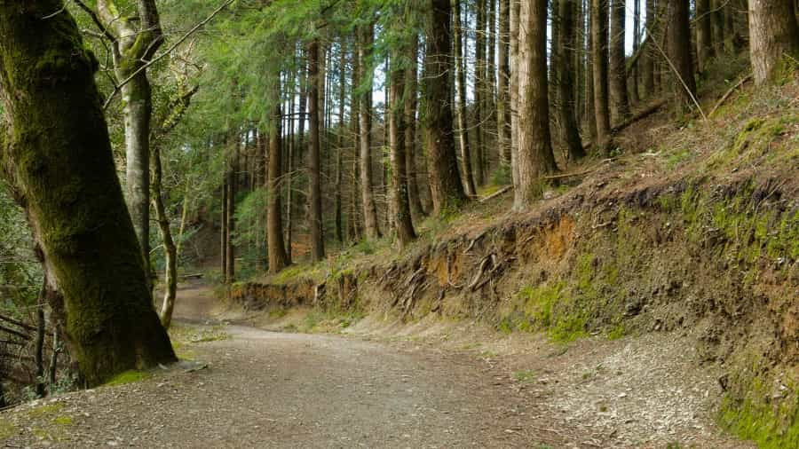
This mixed-terrain loop trail through Castle Dock and Cheriton Bottom woods on the coastal Stackpole Estate has enough natural obstacles, climbs and purpose-built singletrack sections to keep any mountain biker busy. You’ll need a bike that can cope with tree roots, gravel, jumps, muddy sections and the odd stream.
There’s a handy map at the start point in the woods, and both the National Trust website and Komoot have descriptions of the route (Komoot’s version includes a GPS file). There’s also a short video on YouTube that will give you an idea of what to expect.

Preseli Hills - The Golden Road
Start/end: Rosebush
Distance: 15.5 miles (25 km) loop
Time: 3-5 hours
An ancient track said to date back to the Neolithic period, The Golden Road runs along the spine of the Preseli Hills, passing hill forts, wooded valleys, rocky tors and megalithic monuments. This ride, courtesy of BBC Countryfile magazine, is outlined in detail on outdooractive, and if you sign up (free) you’ll be able to download a GPX file. It takes you through a wild area of moorland, heath and grassland on grassy singletrack and bridleways (with some boggy areas), and although it’s not entirely off-road, it’s undoubtedly worth it for the ancient sites you’ll pass, the superb panoramic views and the chance to spot buzzards and merlins en route.
Starting from Rosebush, it travels through Pantmaenog Forest onto open moorland and then follows the spine of the hills for several miles, passing cairns and rocky outcrops including Beddarthur (said by some to be the burial site of King Arthur), Carn Menyn tor (reputedly the source of the stones forming the inner ring at Stonehenge) and Foel Drygarn (an Iron Age hill fort topped with three cairns), before returning to Rosebush on quiet minor roads.
If you like the sound of this (and who wouldn't?) but fancy a shorter ride, the Cycle Pembrokeshire page has all the details of a shorter ride that covers some of the same territory, known as the Preseli Stones Trail.

Essential tips for cycling in Pembrokeshire Coast National Park
When cycling or mountain biking in Pembrokeshire Coast National Park, it’s always worth bearing the following simple tips in mind.
Preparation
-
Before you set out, make sure your bike is in good working condition: check your brakes, tyres and gears.
-
Always carry a repair kit, spare tubes and a pump.
-
Wear a helmet, as well as comfortable, breathable high-visibility clothing.
Essentials to bring
-
Always carry enough food and water for the duration of your ride, as well as energy snacks and a basic first-aid kit.
-
A mobile phone or a GPS device is invaluable to help you to stay on track, and a local OS map is a great backup.
Safety
-
Follow the Countryside Code: leave no trace, respect wildlife and stick to designated paths.
-
Always be mindful of other path users, including hikers and horse riders.

With everything from off-road woodland trails to riverside paths and clifftop routes with great sea views, the Pembrokeshire Coast National Park is a fabulous place to explore on two wheels. If you need somewhere to stay between cycle rides, check out Pitchup’s range of the best Pembrokeshire campsites.