Hiking in Pembrokeshire Coast National Park
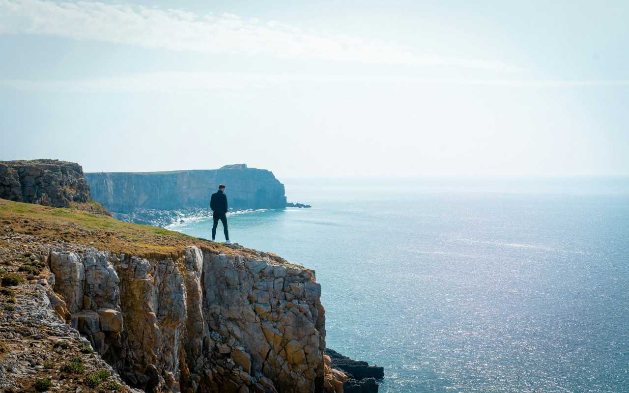
With sandy coves, craggy cliffs and seascapes that roll on all the way to the horizon, the Pembrokeshire Coast National Park has 240 square miles of spectacular scenery that’s waiting to be discovered on foot.
You might already have checked out our list of the best walks in Pembrokeshire – it covers the islands, beaches and historic landmarks that can all be seen on easy to moderate rambles. This page takes a look at the more challenging end of the spectrum, covering hikes that require a higher level of fitness and stamina. Keep reading to find out more about our favourite hikes in Pembrokeshire national park, from multi-day coastal walks to quiet inland adventures.
Pembrokeshire Coast Path National Trail
Distance: 186 miles (299 km)
Start: Amroth
End: St Dogmaels
Elevation gain: 11,000 metres (over the entire route)
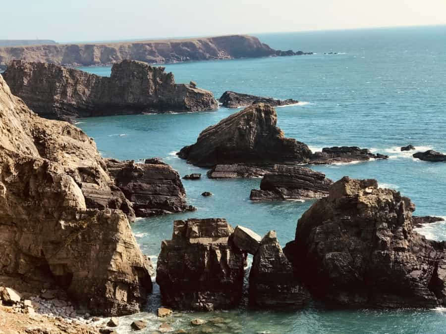
The big daddy of Pembrokeshire hikes is, without doubt, the Pembrokeshire Coast Path. This 186-mile path is one of the most rewarding to walk in Wales, passing more than 50 beaches, plus cliffs brimming with birdlife and historic monuments like Celtic chapels and medieval castles.
A hike along this lengthy trail obviously needs to be split up into stages, but there are lots of campsites along the way where you can stop for the night, as well as walker-friendly pubs and cafés where you can enjoy a meal or drink with a view. The entire route also benefits from good public transport, with buses serving all sections of the coast path.
For more information about this fantastic hike, as well as a recommended five-day itinerary, see our in-depth guide to the Pembrokeshire Coast Path.

Angle to Freshwater West
Distance: 10 miles (16 km)
Start: Angle
End: Freshwater West
Elevation gain: 333 metres
The section of the Pembrokeshire Coast Path National Trail from Angle to Freshwater West is one of the most scenic and rugged – if you want to get a sense of what walking the whole thing is all about, this would be a good place to start. There is very little along the walk except for coastline and countryside – although there is a good café in Angle at the start.
Much of the route has no phone signal, making this full-day hike a great way to disconnect from the rest of the world and enjoy the stunning scenery. It is also possible to do this hike in reverse, allowing you to end at the café and enjoy a cup of coffee and a slice of cake while you wait for the bus to take you back to the start point.
Highlights along the way include the views from the clifftop parts of the walk, with vistas far out to sea and over Rat, Thorn and Sheep islands. There are also some excellent beaches, including West Angle Bay with its golden stretch of sand. Keep an eye out for Welcome Pit blowhole near Castles Bay too – formed by the collapse of a sea cave’s roof, this unusual geological feature sometimes sends spray shooting out of the ground near the cliff edge.
A map and description of the walk can be found on the national park website.
Marloes Peninsula Circular
Distance: 8.7 miles (14 km)
Start/end: Martin’s Haven car park
Elevation gain: 300 metres
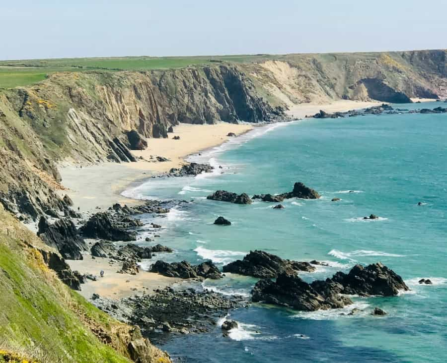
Located at the southern end of St Brides Bay, about 20 minutes' drive from the town of Milford Haven, the Marloes Peninsula is a must-see spot for wildlife enthusiasts. This moderate half-day hike starts and ends at Martin's Haven, where a shingle beach acts as a slipway for the ferry that takes visitors to the nearby island of Skomer, a national nature reserve home to grey seals, choughs and puffins. These animals may also be present on the mainland too, so make sure that dogs are under control and that you don't unnecessarily disturb them during your walk.
From the car park, head west along the coast path to the area known as the Deer Park. Although there aren't any deer here, it is home to an important Iron Age fort, and it's also your best vantage point for spotting seals on the beaches below. Continue, enjoying views over the islands of Skomer and Grassholm, and you will soon reach the attractive beach at Marloes Sands, an excellent place to break for lunch. The final part of the route heads inland, through peaceful fields, returning to the same car park where you started.
For a route map, check out the AllTrails website or app.

The Golden Road, Preseli Hills
Distance: 7.4 miles (12 km)
Start: Tafarn-y-Bwlch
End: Crymych
Elevation gain: 250 metres
For this linear walk, head inland to the Preseli Hills, a peaceful part of the national park that is often overlooked by visitors. The Golden Road follows the Preseli ridge across rugged moorland – a route that has been in use for millennia, possibly for as long as 5,000 years. The route was an important one in prehistoric times, especially for travellers to and from Ireland, but some also think that it was used to transport the Pembrokeshire bluestone used to build Stonehenge. You’ll pass many prehistoric relics during your day, including a large hillfort at the end point, Llainbanal.
Unless you use two cars or get someone to pick you up at the other end, this is a full-day hike, with at least eight or nine hours required to complete the route there and back. That said, the fact that the path mostly sticks to the wide Preseli ridge means you can expect generally easy walking (although it can get boggy at times), with the distance factor posing the biggest challenge.
You’ll find a route map and more information about the Golden Road on the Pembrokeshie Coast National Park website.
St Davids Peninsula Circular
Distance: 9.3 miles (15 km)
Start/end: Quickwell Hill car park, St Davids
Elevation gain: 380 metres
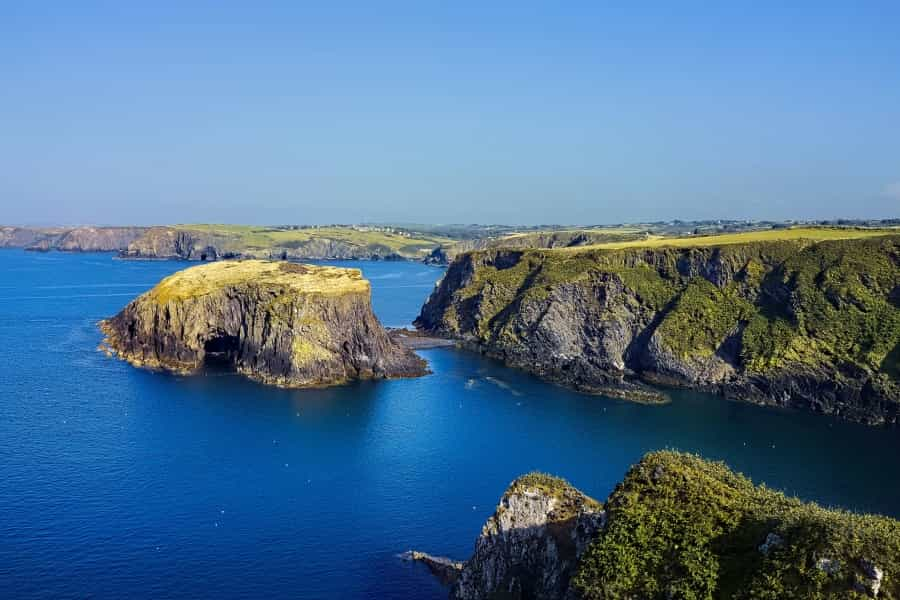
This fantastic coastal walk has it all, from views over Ramsey Island (an RSPB reserve you can visit via ferry from St Justinians, which you'll pass through on this route) to ancient pilgrimage sites and secluded sandy beaches.
Starting in St Davids, head down to St Non’s Bay, said to be the spot where St Non gave birth to St David, Wales' patron saint, in 500 AD. Passing several other secluded bays, as well as pretty Porthclais harbour, continue until Ramsey Island comes fully into view. Stand and rest here a while – you'll get a real sense of the power of the sea as it rushes through the turbulent Ramsey Sound, and you could also see seabirds flying to and from the island. The trail then moves on to Whitesands Bay, an expansive sandy spot popular with bathers and surfers, before skirting around the edge of a golf club and heading back to the centre of St Davids.
The Countryfile website has an interactive map to help you plan your day.

Pilgrimage walks in Pembrokeshire
Pembrokeshire, with its rugged coastline and rich religious history, is also a very special setting for spiritual walks and pilgrimage hikes. The most famous route is the Pembrokeshire section of the Wexford to Pembrokeshire Pilgrim Way, which connects Britain and Ireland by footpath and boat. The Pembrokeshire section of the trail runs from Fishguard Harbour to the holy sites of St Davids – at just under 40 miles, it can be completed over three or four days.
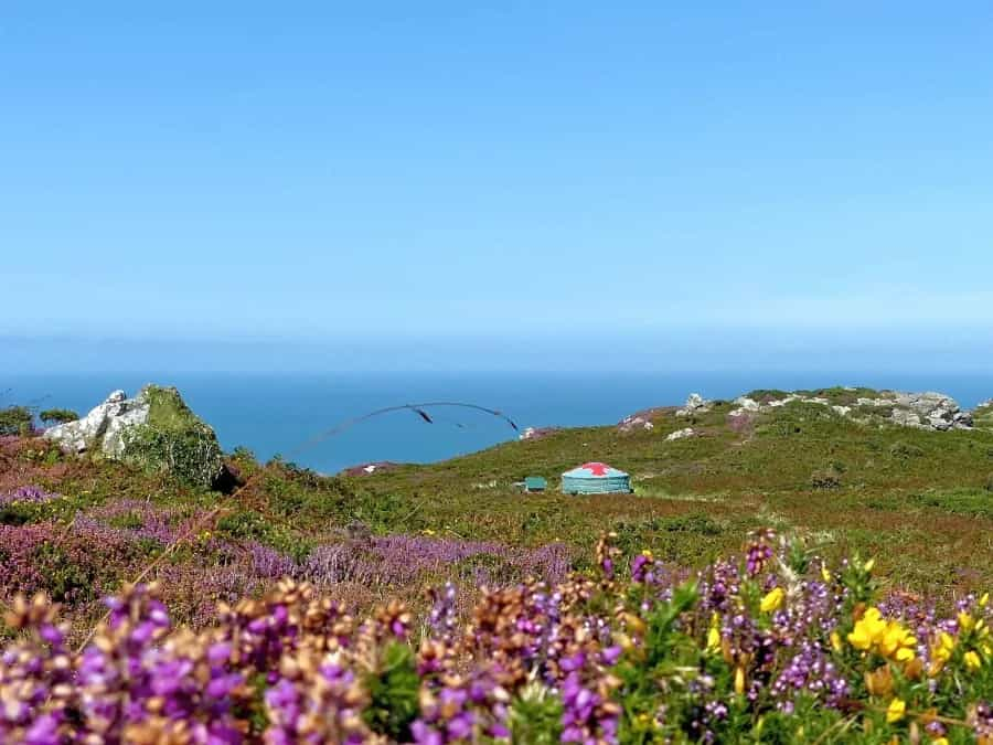
The Pembrokeshire Coast National Park is home to some of the best hiking routes in Wales. With all kinds of routes to choose from and with such spectacular scenery on display, the park attracts most of its hikers between April and September, although it’s possible to go hiking here all year round.
If you’re ready to start planning your outdoor holiday, make sure to check out Pitchup’s wide range of outdoor accommodation. From simple tent pitches to plush glamping getaways, there’s something for everyone. Many of our sites are within walking distance of the trails mentioned above.